Map of Holland Park station, London
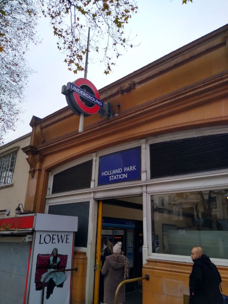
Holland Park station
| Postcode | W11 3RB |
|---|
Transport
| Travel zone | 2 |
|---|---|
| Tube/Rail lines | |
| Next stations | |
| Nearby stations | |
| Bus stops |
Holland Park (E)
Ladbroke Square Gardens (N)
Ladbroke Square Gardens (S)
Norland Square (E)
Norland Square (W)
Stanley Gardens (NW)
|
Geography
| Latitude | 51.507146 | |
|---|---|---|
| Longitude | -0.206558 | |
| Easting | 524564 | |
| Northing | 180215 | |
| Grid reference | TQ245802 | |
| UTM reference | 30U 693852 5709923 | |
| what3words | ||
| Plus code | ||
| Distance away |
Postcodes
This map shows the postcodes where this station is the nearest to the postcode (as the crow flies)