Map of Hounslow West station, London
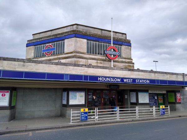
Hounslow West station
| Postcode | TW3 3DH |
|---|
Transport
| Travel zone | 5 |
|---|---|
| Tube/Rail lines | |
| Next stations | |
| Nearby stations | |
| Bus stops |
Hounslow West (W)
Hounslow West Station Vicarage Farm Road (N)
Great West Road (N)
St Pauls Church (W)
Vicarage Farm Road (E)
Vicarage Farm Road (W)
|
Geography
| Latitude | 51.473105 | |
|---|---|---|
| Longitude | -0.385708 | |
| Easting | 512215 | |
| Northing | 176140 | |
| Grid reference | TQ122761 | |
| UTM reference | 30U 681557 5705679 | |
| what3words | ||
| Plus code | ||
| Distance away |
Postcodes
This map shows the postcodes where this station is the nearest to the postcode (as the crow flies)