Map of Iver station, London
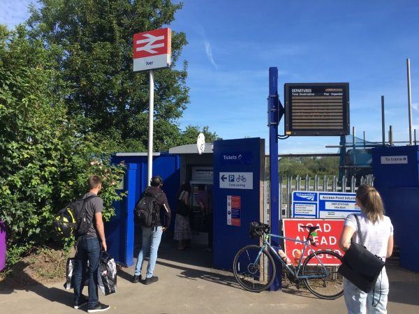
Photo: Martin W
Iver station
| Postcode | SL0 9AU |
|---|
Transport
| Travel zone | Outside zone 6 |
|---|---|
| Tube/Rail lines | |
| Next stations | |
| Nearby stations | |
| Bus stops |
Richings Park (S)
Thorney Lane South (N)
Thorney Lane South (S)
|
| Station code (TLC) | IVR |
| Station code (NLC) | 3170 |
| Owner | TfL Rail |
| National Rail Enquiries | |
Live Departures
Live Arrivals
Usage
Entries and exits
Interchanges
| Year | Entries and exits | Annual change % | Interchanges | Annual change % |
|---|---|---|---|---|
| 2025 | 362,658 | 13.0 % | ||
| 2024 | 321,042 | 21.2 % | ||
| 2023 | 264,940 | 21.0 % | ||
| 2022 | 218,952 | 140.8 % | ||
| 2021 | 90,928 | -60.7 % | ||
| 2020 | 231,544 | -10.5 % | ||
| 2019 | 258,664 | 13.8 % | ||
| 2018 | 227,288 | -1.2 % | ||
| 2017 | 229,982 | 1.9 % | ||
| 2016 | 225,704 | 0.4 % | ||
| 2015 | 224,740 | 16.1 % | ||
| 2014 | 193,540 | 4.0 % | ||
| 2013 | 186,132 | 19.4 % | ||
| 2012 | 155,878 | 2.3 % | ||
| 2011 | 152,302 | 16.2 % | ||
| 2010 | 131,016 | -16.4 % | ||
| 2009 | 156,658 | 5.9 % | ||
| 2008 | 147,921 | 3.4 % | ||
| 2007 | 143,027 | 5.0 % | ||
| 2006 | 136,161 | 22.2 % | ||
| 2005 | 111,436 |
Note: Data is for financial years, so 2020 is April 2019 to March 2020
Geography
| Latitude | 51.508502 | |
|---|---|---|
| Longitude | -0.506726 | |
| Easting | 503729 | |
| Northing | 179898 | |
| Grid reference | TQ037798 | |
| UTM reference | 30U 673020 5709322 | |
| what3words | ||
| Plus code | ||
| Distance away |
Postcodes
This map shows the postcodes where this station is the nearest to the postcode (as the crow flies)