Map of Kew Gardens station, London
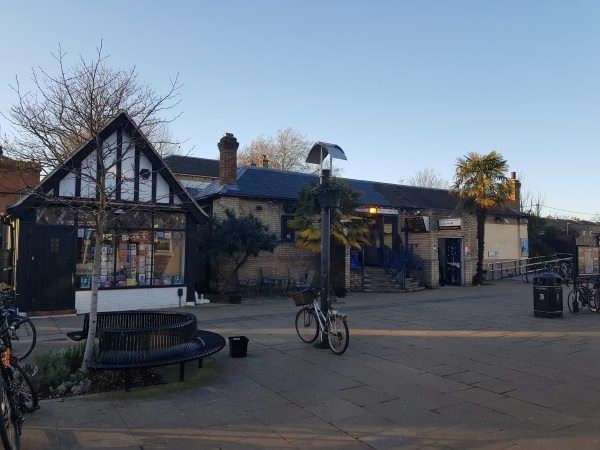
Kew Gardens station
| Postcode | TW9 3PZ |
|---|
Transport
| Travel zone | 3,4 |
|---|---|
| Tube/Rail lines | |
| Next stations | |
| Nearby stations | |
| Bus stops |
Kew Gardens Hotel (N)
Kew Gardens Station (N)
Lawn Crescent (S)
West Park Road (S)
Kew Gardens Road (E)
West Park Road (N)
|
| Station code (TLC) | KWG |
| Station code (NLC) | 5594 |
| Owner | London Underground |
| National Rail Enquiries | |
Live Departures
Live Arrivals
Usage
Entries and exits
Interchanges
| Year | Entries and exits | Annual change % | Interchanges | Annual change % |
|---|---|---|---|---|
| 2024 | 1,381,772 | 13.0 % | ||
| 2023 | 1,222,640 | 25.8 % | ||
| 2022 | 971,560 | 135.7 % | ||
| 2021 | 412,128 | -70.2 % | ||
| 2020 | 1,382,212 | 2.7 % | ||
| 2019 | 1,345,370 | 2.2 % | ||
| 2018 | 1,315,942 | 1.1 % | ||
| 2017 | 1,301,970 | 10.4 % | ||
| 2016 | 1,179,264 | 0.3 % | ||
| 2015 | 1,175,972 | 3.1 % | ||
| 2014 | 1,140,766 | 15.0 % | ||
| 2013 | 991,728 | 10.3 % | ||
| 2012 | 899,282 | 23.8 % | ||
| 2011 | 726,610 | 18.7 % | ||
| 2010 | 611,930 | 21.5 % | ||
| 2009 | 503,760 | -19.8 % | ||
| 2008 | 627,939 | -2.4 % | ||
| 2007 | 643,119 | -52.5 % | ||
| 2006 | 1,354,836 | -10.3 % | ||
| 2005 | 1,509,652 |
Note: Data is for financial years, so 2020 is April 2019 to March 2020
Geography
| Latitude | 51.477072 | |
|---|---|---|
| Longitude | -0.285054 | |
| Easting | 519173 | |
| Northing | 176708 | |
| Grid reference | TQ191767 | |
| UTM reference | 30U 688530 5706375 | |
| what3words | ||
| Plus code | ||
| Distance away |
Postcodes
This map shows the postcodes where this station is the nearest to the postcode (as the crow flies)