Map of Leicester station
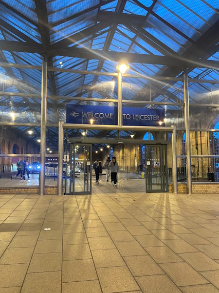
Photo: Michelle
Leicester station
| Postcode | LE2 0QB |
|---|
Transport
| Nearby stations | |
|---|---|
| Bus stops |
Station Street (SE)
Rail Station (SE)
Station Street (NW)
Prebend Street (NW)
Leicester Mercury (W)
Charles Street (SE)
|
| Station code (TLC) | LEI |
| Station code (NLC) | 1947 |
| Owner | East Midlands Railway |
| National Rail Enquiries | |
Live Departures
Live Arrivals
Usage
Entries and exits
Interchanges
| Year | Entries and exits | Annual change % | Interchanges | Annual change % |
|---|---|---|---|---|
| 2025 | 5,527,136 | 4.2 % | 517,869 | 12.0 % |
| 2024 | 5,303,830 | 8.9 % | 462,423 | 9.4 % |
| 2023 | 4,869,836 | 37.2 % | 422,690 | 52.9 % |
| 2022 | 3,548,600 | 240.5 % | 276,360 | 251.0 % |
| 2021 | 1,042,118 | -80.4 % | 78,735 | -83.8 % |
| 2020 | 5,322,728 | -4.6 % | 487,203 | -5.8 % |
| 2019 | 5,582,286 | 3.5 % | 517,295 | 3.3 % |
| 2018 | 5,392,710 | -0.6 % | 500,788 | 1.3 % |
| 2017 | 5,422,928 | 3.4 % | 494,187 | 2.3 % |
| 2016 | 5,247,140 | 3.9 % | 482,988 | 3.3 % |
| 2015 | 5,052,026 | 4.1 % | 467,456 | 3.3 % |
| 2014 | 4,853,908 | 1.2 % | 452,471 | -6.7 % |
| 2013 | 4,797,294 | -1.7 % | 484,786 | 5.9 % |
| 2012 | 4,880,616 | -1.5 % | 457,725 | 16.1 % |
| 2011 | 4,953,636 | -0.8 % | 394,301 | 7.3 % |
| 2010 | 4,992,390 | -2.7 % | 367,430 | -12.6 % |
| 2009 | 5,132,022 | 3.3 % | 420,563 | 19.1 % |
| 2008 | 4,969,109 | 4.0 % | 353,101 | -7.9 % |
| 2007 | 4,778,063 | 9.6 % | 383,370 | -0.4 % |
| 2006 | 4,360,891 | -2.1 % | 384,983 | 3.4 % |
| 2005 | 4,456,662 | 372,261 |
Note: Data is for financial years, so 2020 is April 2019 to March 2020
Geography
| Latitude | 52.631425 | |
|---|---|---|
| Longitude | -1.125276 | |
| Easting | 459300 | |
| Northing | 304100 | |
| Grid reference | SK592041 | |
| UTM reference | 30U 626876 5832920 | |
| what3words | ||
| Plus code | ||
| Distance away |
Postcodes
This map shows the postcodes where this station is the nearest to the postcode (as the crow flies)