Map of Marlow station
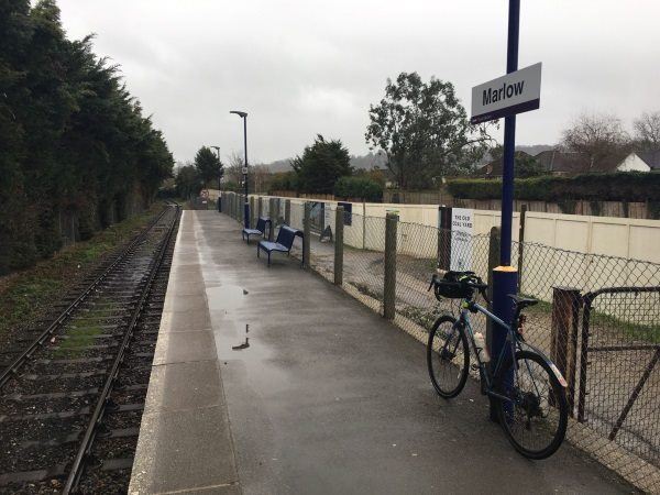
Photo: Martin W
Marlow station
| Postcode | SL7 1NT |
|---|
Transport
| Nearby stations | |
|---|---|
| Bus stops |
Railway Station (SW)
Foxes Piece (SW)
Foxes Piece (NE)
Quarry Wood Road (SE)
Quarry Wood Road (NW)
Maple Rise (NE)
|
| Station code (TLC) | MLW |
| Station code (NLC) | 3021 |
| Owner | Great Western Railway |
| National Rail Enquiries | |
Live Departures
Live Arrivals
Usage
Entries and exits
Interchanges
| Year | Entries and exits | Annual change % | Interchanges | Annual change % |
|---|---|---|---|---|
| 2025 | 361,450 | 15.7 % | ||
| 2024 | 312,386 | 22.3 % | ||
| 2023 | 255,378 | 29.2 % | ||
| 2022 | 197,650 | 183.1 % | ||
| 2021 | 69,818 | -77.7 % | ||
| 2020 | 312,864 | 4.4 % | ||
| 2019 | 299,652 | 8.7 % | ||
| 2018 | 275,740 | -0.2 % | ||
| 2017 | 276,188 | -0.9 % | ||
| 2016 | 278,618 | -3.7 % | ||
| 2015 | 289,204 | 6.3 % | ||
| 2014 | 272,072 | -4.8 % | ||
| 2013 | 285,924 | 3.1 % | ||
| 2012 | 277,334 | 1.1 % | ||
| 2011 | 274,190 | 7.7 % | ||
| 2010 | 254,610 | -7.3 % | ||
| 2009 | 274,786 | -6.3 % | ||
| 2008 | 293,367 | -2.2 % | ||
| 2007 | 299,882 | -0.8 % | ||
| 2006 | 302,398 | 3.4 % | ||
| 2005 | 292,516 |
Note: Data is for financial years, so 2020 is April 2019 to March 2020
Geography
| Latitude | 51.570993 | |
|---|---|---|
| Longitude | -0.766431 | |
| Easting | 485590 | |
| Northing | 186512 | |
| Grid reference | SU855865 | |
| UTM reference | 30U 654788 5715688 | |
| what3words | ||
| Plus code | ||
| Distance away |
Postcodes
This map shows the postcodes where this station is the nearest to the postcode (as the crow flies)