Map of Mill Hill East station, London
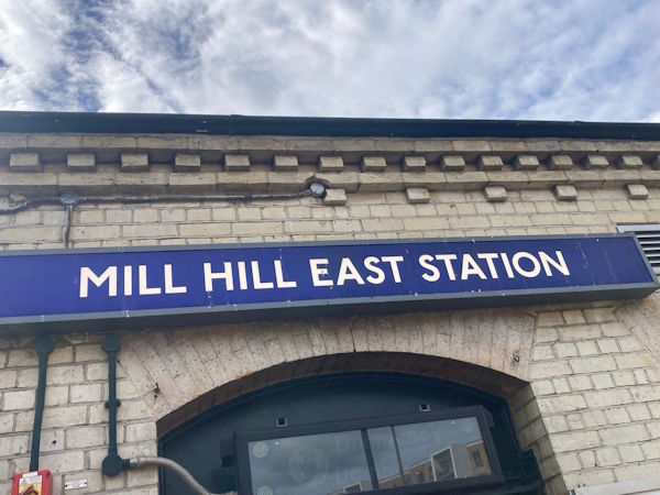
Photo: Dave W
Mill Hill East station
| Postcode | NW7 1BS |
|---|
Transport
| Travel zone | 4 |
|---|---|
| Tube/Rail lines | |
| Next stations | |
| Nearby stations | |
| Bus stops |
Mill Hill East (S)
Sanders Lane (NW)
Inglis Way (E)
Inglis Way (W)
Sanders Lane (SE)
Frith Lane (S)
|
Geography
| Latitude | 51.608316 | |
|---|---|---|
| Longitude | -0.209896 | |
| Easting | 524057 | |
| Northing | 191460 | |
| Grid reference | TQ240914 | |
| UTM reference | 30U 693191 5721163 | |
| what3words | ||
| Plus code | ||
| Distance away |
Postcodes
This map shows the postcodes where this station is the nearest to the postcode (as the crow flies)