Map of Newbury Racecourse station
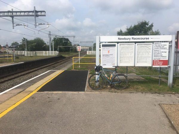
Photo: Martin W
Newbury Racecourse station
| Postcode | RG14 5ST |
|---|
Transport
| Nearby stations | |
|---|---|
| Bus stops |
Racecourse Station (E)
Kennetside (W)
Kennetside (E)
Rondetto Avenue (N)
Rondetto Avenue (S)
Grandstand (W)
|
| Station code (TLC) | NRC |
| Station code (NLC) | 3071 |
| Owner | Great Western Railway |
| National Rail Enquiries | |
Live Departures
Live Arrivals
Usage
Entries and exits
Interchanges
| Year | Entries and exits | Annual change % | Interchanges | Annual change % |
|---|---|---|---|---|
| 2025 | 114,628 | 15.7 % | ||
| 2024 | 99,044 | 18.3 % | ||
| 2023 | 83,728 | 14.4 % | ||
| 2022 | 73,204 | 309.2 % | ||
| 2021 | 17,890 | -83.0 % | ||
| 2020 | 105,398 | 20.1 % | ||
| 2019 | 87,766 | -6.4 % | ||
| 2018 | 93,764 | -6.5 % | ||
| 2017 | 100,302 | 3.1 % | ||
| 2016 | 97,254 | 11.8 % | ||
| 2015 | 86,984 | 14.1 % | ||
| 2014 | 76,212 | -7.5 % | ||
| 2013 | 82,370 | 6.7 % | ||
| 2012 | 77,198 | 2.2 % | ||
| 2011 | 75,508 | 18.1 % | ||
| 2010 | 63,956 | -1.8 % | ||
| 2009 | 65,128 | 2.0 % | ||
| 2008 | 63,878 | -6.9 % | ||
| 2007 | 68,636 | -4.9 % | ||
| 2006 | 72,153 | 28.2 % | ||
| 2005 | 56,299 |
Note: Data is for financial years, so 2020 is April 2019 to March 2020
Geography
| Latitude | 51.398461 | |
|---|---|---|
| Longitude | -1.307799 | |
| Easting | 448252 | |
| Northing | 166830 | |
| Grid reference | SU482668 | |
| UTM reference | 30U 617717 5695495 | |
| what3words | ||
| Plus code | ||
| Distance away |
Postcodes
This map shows the postcodes where this station is the nearest to the postcode (as the crow flies)