Map of North Ealing station, London
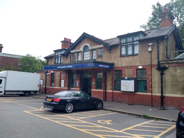
North Ealing station
| Postcode | W5 3AF |
|---|
Transport
| Travel zone | 3 |
|---|---|
| Tube/Rail lines | |
| Next stations | |
| Nearby stations | |
| Bus stops |
North Ealing (N)
Audley Road (W5) (S)
Hanger Lane Madeley Road (E)
Gunnersbury Avenue (W5) (N)
Gunnersbury Avenue (W5) (SW)
Hanger Lane (E)
|
Geography
| Latitude | 51.517622 | |
|---|---|---|
| Longitude | -0.288994 | |
| Easting | 518816 | |
| Northing | 181243 | |
| Grid reference | TQ188812 | |
| UTM reference | 30U 688090 5710873 | |
| what3words | ||
| Plus code | ||
| Distance away |
Postcodes
This map shows the postcodes where this station is the nearest to the postcode (as the crow flies)