Map of Oxshott station
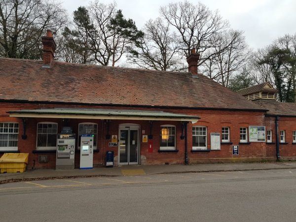
Oxshott station
| Postcode | KT22 0TA |
|---|
Transport
| Nearby stations | |
|---|---|
| Bus stops |
Railway Station (S)
St Andrew's Church (SE)
St Andrew's Church (NW)
Royal Kent School (E)
Steel's Lane (E)
Royal Kent School (W)
|
| Station code (TLC) | OXS |
| Station code (NLC) | 5602 |
| Owner | South Western Railway |
| National Rail Enquiries | |
Live Departures
Live Arrivals
Usage
Entries and exits
Interchanges
| Year | Entries and exits | Annual change % | Interchanges | Annual change % |
|---|---|---|---|---|
| 2025 | 449,494 | 10.5 % | ||
| 2024 | 406,896 | 18.1 % | ||
| 2023 | 344,616 | 25.9 % | ||
| 2022 | 273,760 | 209.8 % | ||
| 2021 | 88,364 | -80.5 % | ||
| 2020 | 452,696 | -8.5 % | ||
| 2019 | 494,946 | 1.1 % | ||
| 2018 | 489,768 | -3.8 % | ||
| 2017 | 509,090 | -1.0 % | ||
| 2016 | 514,096 | 3.6 % | ||
| 2015 | 496,108 | 1.1 % | ||
| 2014 | 490,522 | 4.1 % | ||
| 2013 | 471,084 | 0.7 % | ||
| 2012 | 467,804 | 3.0 % | ||
| 2011 | 454,040 | 2.3 % | ||
| 2010 | 443,738 | -3.8 % | ||
| 2009 | 461,076 | 2.0 % | ||
| 2008 | 451,842 | 14.2 % | ||
| 2007 | 395,791 | 5.4 % | ||
| 2006 | 375,678 | -1.7 % | ||
| 2005 | 382,283 |
Note: Data is for financial years, so 2020 is April 2019 to March 2020
Geography
| Latitude | 51.336395 | |
|---|---|---|
| Longitude | -0.362419 | |
| Easting | 514172 | |
| Northing | 160973 | |
| Grid reference | TQ141609 | |
| UTM reference | 30U 683722 5690537 | |
| what3words | ||
| Plus code | ||
| Distance away |
Postcodes
This map shows the postcodes where this station is the nearest to the postcode (as the crow flies)