Map of Pangbourne station
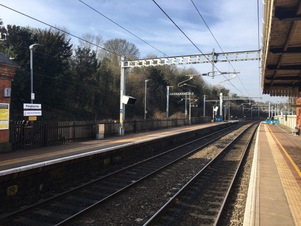
Photo: Martin W
Pangbourne station
| Postcode | RG8 7DY |
|---|
Transport
| Nearby stations | |
|---|---|
| Bus stops |
Hartslock Court (SE)
Hartslock Court (NW)
Pangbourne Village Hall (NW)
Old Post Office (S)
Stokes View (W)
Stokes View (E)
|
| Station code (TLC) | PAN |
| Station code (NLC) | 3036 |
| Owner | Great Western Railway |
| National Rail Enquiries | |
Live Departures
Live Arrivals
Usage
Entries and exits
Interchanges
| Year | Entries and exits | Annual change % | Interchanges | Annual change % |
|---|---|---|---|---|
| 2023 | 321,370 | 27.7 % | ||
| 2022 | 251,584 | 165.5 % | ||
| 2021 | 94,750 | -80.3 % | ||
| 2020 | 482,128 | -1.2 % | ||
| 2019 | 488,122 | 2.6 % | ||
| 2018 | 475,724 | 4.2 % | ||
| 2017 | 456,408 | 2.6 % | ||
| 2016 | 444,648 | 3.1 % | ||
| 2015 | 431,404 | 1.7 % | ||
| 2014 | 424,034 | 3.6 % | ||
| 2013 | 409,412 | -1.1 % | ||
| 2012 | 413,882 | 2.3 % | ||
| 2011 | 404,674 | 3.5 % | ||
| 2010 | 391,026 | -2.8 % | ||
| 2009 | 402,162 | 2.4 % | ||
| 2008 | 392,873 | 3.6 % | ||
| 2007 | 379,109 | 7.1 % | ||
| 2006 | 354,031 | -1.0 % | ||
| 2005 | 357,731 |
Note: Data is for financial years, so 2020 is April 2019 to March 2020
Geography
| Latitude | 51.485402 | |
|---|---|---|
| Longitude | -1.09047 | |
| Easting | 463251 | |
| Northing | 176664 | |
| Grid reference | SU632766 | |
| UTM reference | 30U 632582 5705534 | |
| what3words | ||
| Plus code | ||
| Distance away |
Postcodes
This map shows the postcodes where this station is the nearest to the postcode (as the crow flies)