Map of Petersfield station
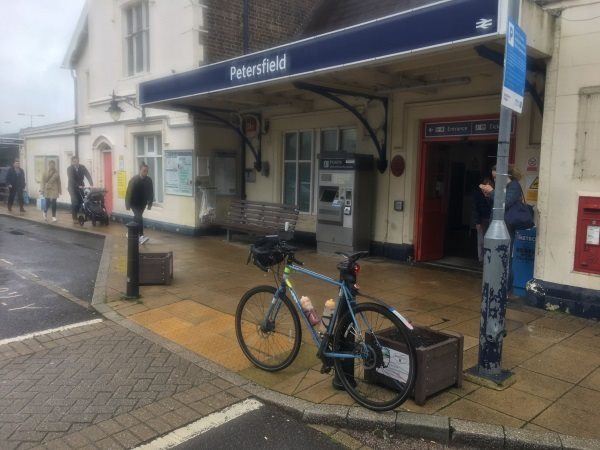
Photo: Martin W
Petersfield station
| Postcode | GU32 3EE |
|---|
Transport
| Nearby stations | |
|---|---|
| Bus stops |
Station (SW)
Station (SE)
Frenchmans Road (SE)
Petersfield Hospital (E)
Petersfield Hospital (W)
The Spain (E)
|
| Station code (TLC) | PTR |
| Station code (NLC) | 5657 |
| Owner | South Western Railway |
| National Rail Enquiries | |
Live Departures
Live Arrivals
Usage
Entries and exits
Interchanges
| Year | Entries and exits | Annual change % | Interchanges | Annual change % |
|---|---|---|---|---|
| 2025 | 1,221,202 | 9.2 % | 6,732 | -29.8 % |
| 2024 | 1,118,506 | 7.8 % | 9,595 | 25.5 % |
| 2023 | 1,037,738 | 15.0 % | 7,646 | 27.4 % |
| 2022 | 902,660 | 143.2 % | 6,000 | 179.7 % |
| 2021 | 371,200 | -73.6 % | 2,145 | -79.2 % |
| 2020 | 1,405,648 | -3.9 % | 10,297 | -3.3 % |
| 2019 | 1,462,062 | 4.0 % | 10,644 | -2.6 % |
| 2018 | 1,406,458 | -1.9 % | 10,933 | 0.2 % |
| 2017 | 1,432,978 | 3.8 % | 10,914 | -5.1 % |
| 2016 | 1,380,900 | 1.5 % | 11,503 | -1.0 % |
| 2015 | 1,360,682 | 3.7 % | 11,616 | 1.2 % |
| 2014 | 1,312,314 | 1.0 % | 11,477 | -4.0 % |
| 2013 | 1,299,358 | -0.2 % | 11,949 | 5.5 % |
| 2012 | 1,301,558 | 0.6 % | 11,321 | -9.6 % |
| 2011 | 1,293,590 | 6.0 % | 12,518 | 9.1 % |
| 2010 | 1,220,808 | -0.7 % | 11,475 | -6.9 % |
| 2009 | 1,229,312 | 2.8 % | 12,328 | 36.9 % |
| 2008 | 1,195,486 | 9.1 % | 9,006 | -9.3 % |
| 2007 | 1,095,781 | 5.3 % | 9,924 | 52.7 % |
| 2006 | 1,040,643 | 3.4 % | 6,497 | -24.5 % |
| 2005 | 1,006,404 | 8,605 |
Note: Data is for financial years, so 2020 is April 2019 to March 2020
Geography
| Latitude | 51.006726 | |
|---|---|---|
| Longitude | -0.941137 | |
| Easting | 474387 | |
| Northing | 123571 | |
| Grid reference | SU743235 | |
| UTM reference | 30U 644442 5652590 | |
| what3words | ||
| Plus code | ||
| Distance away |
Postcodes
This map shows the postcodes where this station is the nearest to the postcode (as the crow flies)