Map of Plaistow station, London
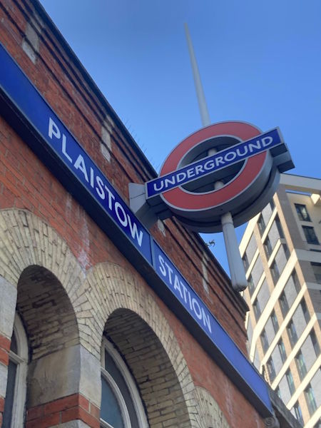
Photo: Dave W
Plaistow station
| Postcode | E13 0DY |
|---|
Transport
| Travel zone | 3 |
|---|---|
| Tube/Rail lines | |
| Next stations | |
| Nearby stations | |
| Bus stops |
Plaistow (SE)
High Street Plaistow (S)
Florence Road (E13) (N)
Victoria Road (E13) (E)
Florence Road (E13) (S)
Morley Road Plaistow (W)
|
Geography
| Latitude | 51.531288 | |
|---|---|---|
| Longitude | 0.017781 | |
| Easting | 540058 | |
| Northing | 183305 | |
| Grid reference | TQ400833 | |
| UTM reference | 31U 293158 5713125 | |
| what3words | ||
| Plus code | ||
| Distance away |
Postcodes
This map shows the postcodes where this station is the nearest to the postcode (as the crow flies)