Map of Shepperton station
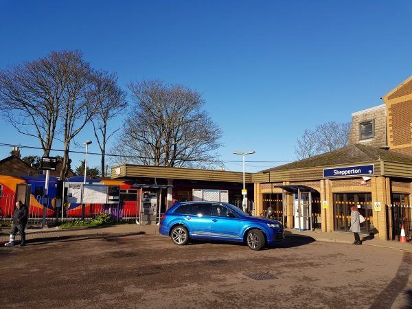
Shepperton station
| Postcode | TW17 8AN |
|---|
Transport
| Nearby stations | |
|---|---|
| Bus stops |
Shepperton Station Approach (W)
Shepperton Station Approach (NE)
Manygate Lane (E)
Manor Farm Avenue (SE)
Manor Farm Avenue (NW)
High Street (S)
|
| Station code (TLC) | SHP |
| Station code (NLC) | 5605 |
| Owner | South Western Railway |
| National Rail Enquiries | |
Live Departures
Live Arrivals
Usage
Entries and exits
Interchanges
| Year | Entries and exits | Annual change % | Interchanges | Annual change % |
|---|---|---|---|---|
| 2025 | 346,958 | 3.7 % | ||
| 2024 | 334,578 | 17.4 % | ||
| 2023 | 284,934 | 30.0 % | ||
| 2022 | 219,156 | 179.1 % | ||
| 2021 | 78,532 | -78.1 % | ||
| 2020 | 358,762 | -8.6 % | ||
| 2019 | 392,426 | -6.2 % | ||
| 2018 | 418,554 | -1.2 % | ||
| 2017 | 423,718 | -5.5 % | ||
| 2016 | 448,414 | 1.3 % | ||
| 2015 | 442,564 | 5.6 % | ||
| 2014 | 419,200 | -0.9 % | ||
| 2013 | 422,928 | -1.0 % | ||
| 2012 | 427,336 | 1.2 % | ||
| 2011 | 422,116 | 3.4 % | ||
| 2010 | 408,058 | -7.1 % | ||
| 2009 | 439,252 | -0.8 % | ||
| 2008 | 442,807 | 21.2 % | ||
| 2007 | 365,329 | 7.1 % | ||
| 2006 | 341,093 | 0.7 % | ||
| 2005 | 338,823 |
Note: Data is for financial years, so 2020 is April 2019 to March 2020
Geography
| Latitude | 51.396804 | |
|---|---|---|
| Longitude | -0.446786 | |
| Easting | 508153 | |
| Northing | 167563 | |
| Grid reference | TQ081675 | |
| UTM reference | 30U 677612 5697046 | |
| what3words | ||
| Plus code | ||
| Distance away |
Postcodes
This map shows the postcodes where this station is the nearest to the postcode (as the crow flies)