Map of Stanmore station, London
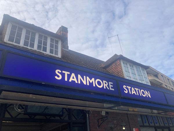
Photo: Dave W
Stanmore station
| Postcode | HA7 4PD |
|---|
Transport
| Travel zone | 5 |
|---|---|
| Tube/Rail lines | |
| Next stations | |
| Nearby stations | |
| Bus stops |
Stanmore Station (E)
Stanmore Station (W)
London Road Synagogue (E)
London Road Synagogue (W)
Nelson Road (N)
Nelson Road (S)
|
Geography
| Latitude | 51.619673 | |
|---|---|---|
| Longitude | -0.303099 | |
| Easting | 517574 | |
| Northing | 192569 | |
| Grid reference | TQ175925 | |
| UTM reference | 30U 686692 5722183 | |
| what3words | ||
| Plus code | ||
| Distance away |
Postcodes
This map shows the postcodes where this station is the nearest to the postcode (as the crow flies)