Map of Strawberry Hill station, London
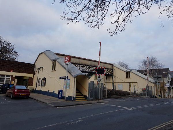
Strawberry Hill station
| Postcode | TW1 4PP |
|---|
Transport
| Travel zone | 5 |
|---|---|
| Tube/Rail lines | |
| Next stations | |
| Nearby stations | |
| Bus stops |
St Marys University (S)
Southfield Gardens (N)
Southfield Gardens (S)
The Prince Albert Twickenham (SW)
Twickenham Green (S)
Twickenham Green (N)
|
| Station code (TLC) | STW |
| Station code (NLC) | 5607 |
| Owner | South Western Railway |
| National Rail Enquiries | |
Live Departures
Live Arrivals
Usage
Entries and exits
Interchanges
| Year | Entries and exits | Annual change % | Interchanges | Annual change % |
|---|---|---|---|---|
| 2024 | 627,652 | 14.0 % | 457 | 24.2 % |
| 2023 | 550,708 | 21.2 % | 368 | 569.1 % |
| 2022 | 454,396 | 176.9 % | 55 | 139.1 % |
| 2021 | 164,112 | -80.2 % | 23 | -70.5 % |
| 2020 | 829,124 | -7.7 % | 78 | -56.9 % |
| 2019 | 898,280 | 7.1 % | 181 | 5.8 % |
| 2018 | 838,528 | -6.1 % | 171 | -14.5 % |
| 2017 | 893,326 | -5.2 % | 200 | 19.8 % |
| 2016 | 942,636 | -16.9 % | 167 | 4075.0 % |
| 2015 | 1,134,910 | 3.3 % | 4 | 0.0 % |
| 2014 | 1,098,576 | 5.1 % | 4 | -84.0 % |
| 2013 | 1,045,528 | 1.7 % | 25 | 19.0 % |
| 2012 | 1,027,968 | 3.9 % | 21 | -94.6 % |
| 2011 | 989,116 | 5.1 % | 386 | 1578.3 % |
| 2010 | 941,392 | -1.4 % | 23 | 0.0 % |
| 2009 | 954,594 | -6.7 % | 23 | -11.5 % |
| 2008 | 1,022,692 | 4.6 % | 26 | -31.6 % |
| 2007 | 978,074 | 79.9 % | 38 | 26.7 % |
| 2006 | 543,620 | -5.8 % | 30 | 11.1 % |
| 2005 | 577,311 | 27 |
Note: Data is for financial years, so 2020 is April 2019 to March 2020
Geography
| Latitude | 51.438962 | |
|---|---|---|
| Longitude | -0.339358 | |
| Easting | 515500 | |
| Northing | 172502 | |
| Grid reference | TQ155725 | |
| UTM reference | 30U 684914 5701999 | |
| what3words | ||
| Plus code | ||
| Distance away |
Postcodes
This map shows the postcodes where this station is the nearest to the postcode (as the crow flies)