Map of Streatham station, London
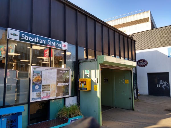
Streatham station
| Postcode | SW16 6HP |
|---|
Transport
| Travel zone | 3 |
|---|---|
| Tube/Rail lines | |
| Next stations | |
| Nearby stations | |
| Bus stops |
Streatham Station (W)
Streatham Station (W)
Streatham Station (S)
Streatham Station (N)
Streatham Station (S)
Streatham Station (N)
|
| Station code (TLC) | STE |
| Station code (NLC) | 5383 |
| Owner | Govia Thameslink Railway (Southern) |
| National Rail Enquiries | |
Live Departures
Live Arrivals
Usage
Entries and exits
Interchanges
| Year | Entries and exits | Annual change % | Interchanges | Annual change % |
|---|---|---|---|---|
| 2025 | 2,437,720 | 15.0 % | 298,484 | -14.9 % |
| 2024 | 2,120,074 | 6.6 % | 350,921 | 18.7 % |
| 2023 | 1,988,798 | 17.8 % | 295,661 | 17.2 % |
| 2022 | 1,687,620 | 88.6 % | 252,336 | 81.1 % |
| 2021 | 894,632 | -69.4 % | 139,353 | -71.1 % |
| 2020 | 2,919,716 | 3.8 % | 481,871 | -10.6 % |
| 2019 | 2,812,938 | 0.1 % | 538,967 | 37.3 % |
| 2018 | 2,810,060 | 3.8 % | 392,599 | -17.7 % |
| 2017 | 2,707,566 | -7.5 % | 477,136 | -16.9 % |
| 2016 | 2,926,626 | -8.4 % | 574,132 | 22.4 % |
| 2015 | 3,194,098 | 10.8 % | 468,879 | 30.5 % |
| 2014 | 2,883,734 | 20.3 % | 359,329 | 16.9 % |
| 2013 | 2,396,904 | 4.1 % | 307,393 | 2.9 % |
| 2012 | 2,301,686 | 5.6 % | 298,779 | -17.5 % |
| 2011 | 2,179,456 | 8.1 % | 362,370 | 5.7 % |
| 2010 | 2,015,864 | -8.1 % | 342,744 | -11.2 % |
| 2009 | 2,192,570 | -12.3 % | 385,854 | -6.0 % |
| 2008 | 2,501,022 | 45.1 % | 410,372 | 83.6 % |
| 2007 | 1,723,835 | 50.7 % | 223,573 | 14.1 % |
| 2006 | 1,143,780 | -2.9 % | 195,868 | -3.4 % |
| 2005 | 1,178,520 | 202,849 |
Note: Data is for financial years, so 2020 is April 2019 to March 2020
Geography
| Latitude | 51.425807 | |
|---|---|---|
| Longitude | -0.13155 | |
| Easting | 529946 | |
| Northing | 171303 | |
| Grid reference | TQ299713 | |
| UTM reference | 30U 699411 5701081 | |
| what3words | ||
| Plus code | ||
| Distance away |
Postcodes
This map shows the postcodes where this station is the nearest to the postcode (as the crow flies)