Map of Taplow station, London
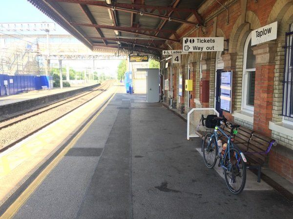
Photo: Martin W
Taplow station
| Postcode | SL6 0NU |
|---|
Transport
| Travel zone | Outside zone 6 |
|---|---|
| Tube/Rail lines | |
| Next stations | |
| Nearby stations | |
| Bus stops |
Railway Station (W)
Marsh Lane (W)
Marsh Lane (S)
Bishops Centre (W)
Bishops Centre (E)
Hillmead Court (NW)
|
| Station code (TLC) | TAP |
| Station code (NLC) | 3151 |
| Owner | TfL Rail |
| National Rail Enquiries | |
Live Departures
Live Arrivals
Usage
Entries and exits
Interchanges
| Year | Entries and exits | Annual change % | Interchanges | Annual change % |
|---|---|---|---|---|
| 2025 | 528,968 | 15.0 % | ||
| 2024 | 459,790 | 53.2 % | ||
| 2023 | 300,082 | 8.5 % | ||
| 2022 | 276,568 | 191.4 % | ||
| 2021 | 94,914 | -70.4 % | ||
| 2020 | 320,926 | 2.9 % | ||
| 2019 | 311,900 | 11.0 % | ||
| 2018 | 280,944 | 2.4 % | ||
| 2017 | 274,398 | 4.0 % | ||
| 2016 | 263,958 | 6.8 % | ||
| 2015 | 247,068 | -0.1 % | ||
| 2014 | 247,418 | 3.5 % | ||
| 2013 | 239,116 | 3.9 % | ||
| 2012 | 230,038 | 8.3 % | ||
| 2011 | 212,420 | 7.6 % | ||
| 2010 | 197,434 | 1.3 % | ||
| 2009 | 194,980 | 4.1 % | ||
| 2008 | 187,293 | 7.6 % | ||
| 2007 | 174,108 | 12.0 % | ||
| 2006 | 155,514 | 4.2 % | ||
| 2005 | 149,191 |
Note: Data is for financial years, so 2020 is April 2019 to March 2020
Geography
| Latitude | 51.523562 | |
|---|---|---|
| Longitude | -0.68137 | |
| Easting | 491579 | |
| Northing | 181340 | |
| Grid reference | SU915813 | |
| UTM reference | 30U 660849 5710598 | |
| what3words | ||
| Plus code | ||
| Distance away |
Postcodes
This map shows the postcodes where this station is the nearest to the postcode (as the crow flies)