Map of Thatcham station
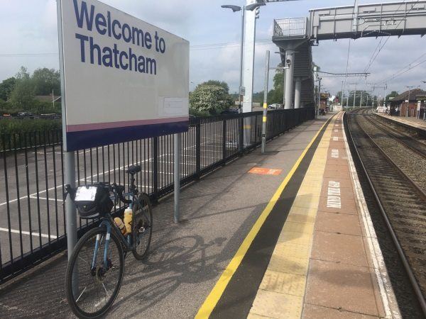
Photo: Martin W
Thatcham station
| Postcode | RG19 4PP |
|---|
Transport
| Nearby stations | |
|---|---|
| Bus stops |
Thatcham Station (N)
Pipers Way (SW)
Pipers Way (NE)
Football Club (SW)
Grassmead ()
Grassmead ()
|
| Station code (TLC) | THA |
| Station code (NLC) | 3152 |
| Owner | Great Western Railway |
| National Rail Enquiries | |
Live Departures
Live Arrivals
Usage
Entries and exits
Interchanges
| Year | Entries and exits | Annual change % | Interchanges | Annual change % |
|---|---|---|---|---|
| 2025 | 464,916 | 14.0 % | ||
| 2024 | 407,766 | 12.4 % | ||
| 2023 | 362,898 | 18.1 % | ||
| 2022 | 307,376 | 188.4 % | ||
| 2021 | 106,564 | -80.7 % | ||
| 2020 | 550,724 | 12.3 % | ||
| 2019 | 490,346 | -11.9 % | ||
| 2018 | 556,576 | -4.2 % | ||
| 2017 | 581,054 | 0.5 % | ||
| 2016 | 578,410 | 8.1 % | ||
| 2015 | 535,172 | 2.5 % | ||
| 2014 | 522,134 | -2.0 % | ||
| 2013 | 532,882 | 6.4 % | ||
| 2012 | 500,798 | -0.9 % | ||
| 2011 | 505,342 | 1.1 % | ||
| 2010 | 499,678 | -5.5 % | ||
| 2009 | 528,882 | 1.0 % | ||
| 2008 | 523,454 | 6.9 % | ||
| 2007 | 489,463 | 7.4 % | ||
| 2006 | 455,931 | 4.3 % | ||
| 2005 | 436,942 |
Note: Data is for financial years, so 2020 is April 2019 to March 2020
Geography
| Latitude | 51.393845 | |
|---|---|---|
| Longitude | -1.24319 | |
| Easting | 452752 | |
| Northing | 166361 | |
| Grid reference | SU527663 | |
| UTM reference | 30U 622223 5695087 | |
| what3words | ||
| Plus code | ||
| Distance away |
Postcodes
This map shows the postcodes where this station is the nearest to the postcode (as the crow flies)