Map of Tufnell Park station, London
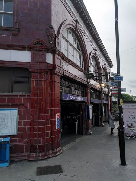
Tufnell Park station
| Postcode | N19 5QB |
|---|
Transport
| Travel zone | 2 |
|---|---|
| Tube/Rail lines | |
| Next stations | |
| Nearby stations | |
| Bus stops |
Tufnell Park (NW)
Tufnell Park (W)
Tufnell Park (S)
Tufnell Park (E)
Tufnell Park (N)
Acland Burghley School (N)
|
Geography
| Latitude | 51.556441 | |
|---|---|---|
| Longitude | -0.137742 | |
| Easting | 529200 | |
| Northing | 185816 | |
| Grid reference | TQ292858 | |
| UTM reference | 30U 698412 5715589 | |
| what3words | ||
| Plus code | ||
| Distance away |
Postcodes
This map shows the postcodes where this station is the nearest to the postcode (as the crow flies)