Map of Upper Holloway station, London
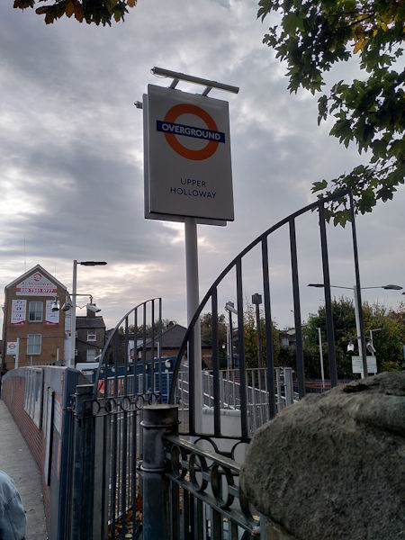
Upper Holloway station
| Postcode | N19 4DJ |
|---|
Transport
| Travel zone | 2 |
|---|---|
| Tube/Rail lines | |
| Next stations | |
| Nearby stations | |
| Bus stops |
Upper Holloway Station (SE)
Elthorne Road (NW)
Wedmore Street (NW)
Archway Road (S)
Archway Station Holloway Road (S)
Archway Road St John's Way (N)
|
| Station code (TLC) | UHL |
| Station code (NLC) | 1524 |
| Owner | London Overground |
| National Rail Enquiries | |
Live Departures
Live Arrivals
Usage
Entries and exits
Interchanges
| Year | Entries and exits | Annual change % | Interchanges | Annual change % |
|---|---|---|---|---|
| 2025 | 1,425,670 | 4.0 % | ||
| 2024 | 1,371,470 | 18.3 % | ||
| 2023 | 1,159,000 | 9.0 % | ||
| 2022 | 1,063,258 | 78.8 % | ||
| 2021 | 594,500 | -39.0 % | ||
| 2020 | 974,102 | -10.5 % | ||
| 2019 | 1,088,442 | 56.3 % | ||
| 2018 | 696,286 | 67.7 % | ||
| 2017 | 415,180 | -67.9 % | ||
| 2016 | 1,291,668 | 10.8 % | ||
| 2015 | 1,166,102 | 7.3 % | ||
| 2014 | 1,086,512 | 20.7 % | ||
| 2013 | 900,538 | 22.3 % | ||
| 2012 | 736,306 | 45.6 % | ||
| 2011 | 505,822 | 77.3 % | ||
| 2010 | 285,272 | 0.5 % | ||
| 2009 | 283,884 | -7.0 % | ||
| 2008 | 305,247 | 48.1 % | ||
| 2007 | 206,090 | 329.4 % | ||
| 2006 | 47,992 | -8.3 % | ||
| 2005 | 52,331 |
Note: Data is for financial years, so 2020 is April 2019 to March 2020
Geography
| Latitude | 51.56363 | |
|---|---|---|
| Longitude | -0.129513 | |
| Easting | 529778 | |
| Northing | 186630 | |
| Grid reference | TQ297866 | |
| UTM reference | 30U 698951 5716410 | |
| what3words | ||
| Plus code | ||
| Distance away |
Postcodes
This map shows the postcodes where this station is the nearest to the postcode (as the crow flies)