Map of Virginia Water station
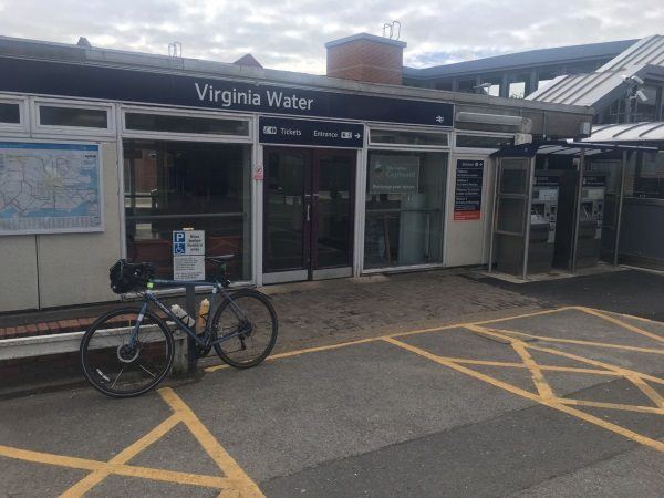
Photo: Martin W
Virginia Water station
| Postcode | GU25 4AA |
|---|
Transport
| Nearby stations | |
|---|---|
| Bus stops |
Limetree Walk (SW)
Limetree Walk (NE)
Sandhills Court (W)
Sandhills Court (E)
Trumpsgreen Shops (NE)
Royal Standard (N)
|
| Station code (TLC) | VIR |
| Station code (NLC) | 5676 |
| Owner | South Western Railway |
| National Rail Enquiries | |
Live Departures
Live Arrivals
Usage
Entries and exits
Interchanges
| Year | Entries and exits | Annual change % | Interchanges | Annual change % |
|---|---|---|---|---|
| 2024 | 571,260 | 19.3 % | 83,186 | -32.0 % |
| 2023 | 478,960 | 20.7 % | 122,300 | 43.6 % |
| 2022 | 396,658 | 164.2 % | 85,150 | 159.8 % |
| 2021 | 150,152 | -75.3 % | 32,770 | -74.4 % |
| 2020 | 607,814 | 0.5 % | 127,787 | 45.3 % |
| 2019 | 604,866 | 5.1 % | 87,971 | 2.4 % |
| 2018 | 575,532 | -3.0 % | 85,913 | -11.7 % |
| 2017 | 593,092 | -2.1 % | 97,276 | -2.6 % |
| 2016 | 606,042 | 1.6 % | 99,829 | 6.7 % |
| 2015 | 596,322 | 1.9 % | 93,565 | -1.9 % |
| 2014 | 585,412 | 3.2 % | 95,382 | 11.0 % |
| 2013 | 567,500 | 0.2 % | 85,933 | 1.5 % |
| 2012 | 566,272 | 3.9 % | 84,645 | 11.7 % |
| 2011 | 544,846 | 2.1 % | 75,780 | -0.2 % |
| 2010 | 533,520 | -2.5 % | 75,935 | -6.6 % |
| 2009 | 547,266 | 5.1 % | 81,324 | 7.6 % |
| 2008 | 520,911 | 15.0 % | 75,598 | -2.9 % |
| 2007 | 452,845 | 6.2 % | 77,870 | 27.2 % |
| 2006 | 426,296 | 7.5 % | 61,211 | 25.1 % |
| 2005 | 396,626 | 48,947 |
Note: Data is for financial years, so 2020 is April 2019 to March 2020
Geography
| Latitude | 51.401801 | |
|---|---|---|
| Longitude | -0.562174 | |
| Easting | 500115 | |
| Northing | 167955 | |
| Grid reference | TQ001679 | |
| UTM reference | 30U 669568 5697328 | |
| what3words | ||
| Plus code | ||
| Distance away |
Postcodes
This map shows the postcodes where this station is the nearest to the postcode (as the crow flies)