Map of Walton-On-Thames station
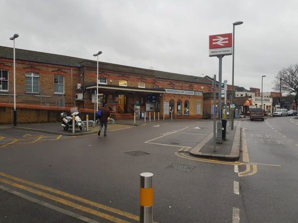
Walton-On-Thames station
| Postcode | KT12 1NR |
|---|
Transport
| Nearby stations | |
|---|---|
| Bus stops |
Walton Railway Station (NE)
Halfway Green (SW)
Mayfield Road (E)
Woodside Avenue (NW)
Halfway Green (NE)
Mayfield Road (W)
|
| Station code (TLC) | WAL |
| Station code (NLC) | 5575 |
| Owner | South Western Railway |
| National Rail Enquiries | |
Live Departures
Live Arrivals
Usage
Entries and exits
Interchanges
| Year | Entries and exits | Annual change % | Interchanges | Annual change % |
|---|---|---|---|---|
| 2025 | 2,425,886 | 7.1 % | ||
| 2024 | 2,264,368 | 11.3 % | ||
| 2023 | 2,034,516 | 31.9 % | ||
| 2022 | 1,542,430 | 185.8 % | ||
| 2021 | 539,752 | -80.2 % | ||
| 2020 | 2,722,804 | -7.1 % | ||
| 2019 | 2,932,472 | 2.7 % | ||
| 2018 | 2,856,710 | -2.1 % | ||
| 2017 | 2,916,886 | 0.0 % | ||
| 2016 | 2,915,774 | 1.6 % | ||
| 2015 | 2,868,664 | 1.8 % | ||
| 2014 | 2,818,844 | 4.0 % | ||
| 2013 | 2,710,168 | 1.1 % | ||
| 2012 | 2,680,498 | 1.8 % | ||
| 2011 | 2,633,620 | 1.2 % | ||
| 2010 | 2,602,302 | -1.4 % | ||
| 2009 | 2,639,510 | 1.0 % | ||
| 2008 | 2,612,224 | 20.0 % | ||
| 2007 | 2,177,448 | 10.1 % | ||
| 2006 | 1,976,980 | 4.2 % | ||
| 2005 | 1,897,255 |
Note: Data is for financial years, so 2020 is April 2019 to March 2020
Geography
| Latitude | 51.37293 | |
|---|---|---|
| Longitude | -0.414635 | |
| Easting | 510447 | |
| Northing | 164956 | |
| Grid reference | TQ104649 | |
| UTM reference | 30U 679942 5694470 | |
| what3words | ||
| Plus code | ||
| Distance away |
Postcodes
This map shows the postcodes where this station is the nearest to the postcode (as the crow flies)