Map of White City station, London
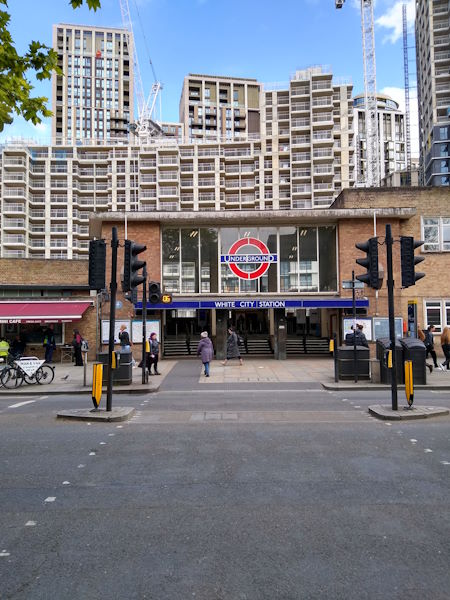
White City station
| Postcode | W12 7RH |
|---|
Transport
| Travel zone | 2 |
|---|---|
| Tube/Rail lines | |
| Next stations | |
| Nearby stations | |
| Bus stops |
White City (N)
South Africa Road (N)
South Africa Road (S)
White City Bus Station (N)
Ariel Way White City Bus Stn (N)
White City Bus Station (S)
|
Geography
| Latitude | 51.512232 | |
|---|---|---|
| Longitude | -0.224632 | |
| Easting | 523296 | |
| Northing | 180750 | |
| Grid reference | TQ232807 | |
| UTM reference | 30U 692577 5710441 | |
| what3words | ||
| Plus code | ||
| Distance away |
Postcodes
This map shows the postcodes where this station is the nearest to the postcode (as the crow flies)