Map of Bagshot station
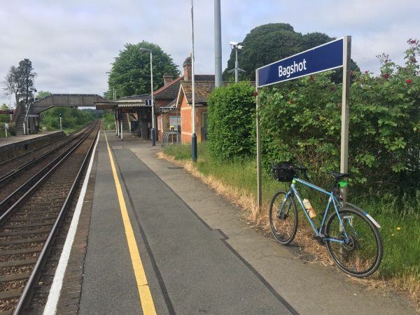
Photo: Martin W
Bagshot station
| Postcode | GU19 5AS |
|---|
Transport
| Nearby stations | |
|---|---|
| Bus stops |
Bagshot Green (SE)
Bagshot Square (SW)
Bagshot Square (NE)
|
| Station code (TLC) | BAG |
| Station code (NLC) | 5681 |
| Owner | South Western Railway |
| National Rail Enquiries | |
Live Departures
Live Arrivals
Usage
Entries and exits
Interchanges
| Year | Entries and exits | Annual change % | Interchanges | Annual change % |
|---|---|---|---|---|
| 2025 | 120,552 | 5.6 % | ||
| 2024 | 114,140 | 9.5 % | ||
| 2023 | 104,228 | 22.0 % | ||
| 2022 | 85,444 | 170.7 % | ||
| 2021 | 31,562 | -75.9 % | ||
| 2020 | 131,110 | -8.8 % | ||
| 2019 | 143,736 | -8.7 % | ||
| 2018 | 157,480 | -1.6 % | ||
| 2017 | 160,076 | -7.8 % | ||
| 2016 | 173,680 | 4.1 % | ||
| 2015 | 166,896 | 1.0 % | ||
| 2014 | 165,174 | 7.5 % | ||
| 2013 | 153,586 | 2.8 % | ||
| 2012 | 149,396 | 2.7 % | ||
| 2011 | 145,444 | 6.3 % | ||
| 2010 | 136,836 | -2.6 % | ||
| 2009 | 140,500 | 1.7 % | ||
| 2008 | 138,110 | 16.8 % | ||
| 2007 | 118,241 | 15.6 % | ||
| 2006 | 102,262 | 7.2 % | ||
| 2005 | 95,357 |
Note: Data is for financial years, so 2020 is April 2019 to March 2020
Geography
| Latitude | 51.364367 | |
|---|---|---|
| Longitude | -0.688662 | |
| Easting | 491391 | |
| Northing | 163627 | |
| Grid reference | SU913636 | |
| UTM reference | 30U 660902 5692880 | |
| what3words | ||
| Plus code | ||
| Distance away |
Postcodes
This map shows the postcodes where this station is the nearest to the postcode (as the crow flies)