Map of Basingstoke station
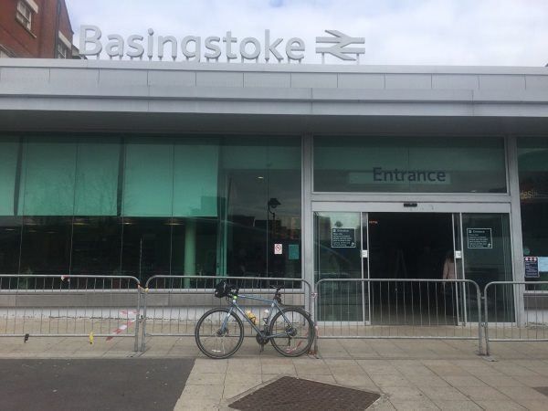
Photo: Martin W
Basingstoke station
| Postcode | RG21 5NB |
|---|
Transport
| Nearby stations | |
|---|---|
| Bus stops |
Railway Station (W)
The Malls (NatX) (W)
Churchill Way (E)
Bus Station (W)
Norden Close (E)
Bus Station ()
|
| Station code (TLC) | BSK |
| Station code (NLC) | 5520 |
| Owner | South Western Railway |
| National Rail Enquiries | |
Live Departures
Live Arrivals
Usage
Entries and exits
Interchanges
| Year | Entries and exits | Annual change % | Interchanges | Annual change % |
|---|---|---|---|---|
| 2025 | 4,793,820 | 13.1 % | 829,653 | 14.6 % |
| 2024 | 4,239,778 | 5.9 % | 724,235 | -32.7 % |
| 2023 | 4,004,066 | 9.3 % | 1,076,621 | -21.4 % |
| 2022 | 3,662,208 | 186.3 % | 1,368,976 | 231.0 % |
| 2021 | 1,279,258 | -77.6 % | 413,644 | -86.9 % |
| 2020 | 5,702,326 | -4.6 % | 3,145,621 | 67.8 % |
| 2019 | 5,979,370 | 3.2 % | 1,874,963 | 4.5 % |
| 2018 | 5,794,624 | 1.8 % | 1,794,401 | 93.9 % |
| 2017 | 5,694,954 | -0.8 % | 925,377 | 3.8 % |
| 2016 | 5,739,458 | 3.2 % | 891,140 | 3.3 % |
| 2015 | 5,561,414 | 3.5 % | 863,028 | -0.9 % |
| 2014 | 5,373,748 | 2.1 % | 870,788 | 1.8 % |
| 2013 | 5,261,426 | 1.4 % | 855,735 | 4.0 % |
| 2012 | 5,187,508 | 5.8 % | 823,134 | 21.4 % |
| 2011 | 4,903,644 | 5.7 % | 677,911 | 4.5 % |
| 2010 | 4,639,966 | -3.5 % | 648,892 | -4.4 % |
| 2009 | 4,807,902 | 4.6 % | 678,487 | 13.9 % |
| 2008 | 4,596,490 | 4.6 % | 595,811 | -17.4 % |
| 2007 | 4,394,401 | 5.6 % | 721,699 | 8.1 % |
| 2006 | 4,161,704 | 1.9 % | 667,850 | 5.2 % |
| 2005 | 4,084,424 | 635,041 |
Note: Data is for financial years, so 2020 is April 2019 to March 2020
Geography
| Latitude | 51.268357 | |
|---|---|---|
| Longitude | -1.087264 | |
| Easting | 463774 | |
| Northing | 152529 | |
| Grid reference | SU637525 | |
| UTM reference | 30U 633434 5681405 | |
| what3words | ||
| Plus code | ||
| Distance away |
Postcodes
This map shows the postcodes where this station is the nearest to the postcode (as the crow flies)