Map of Brighton station
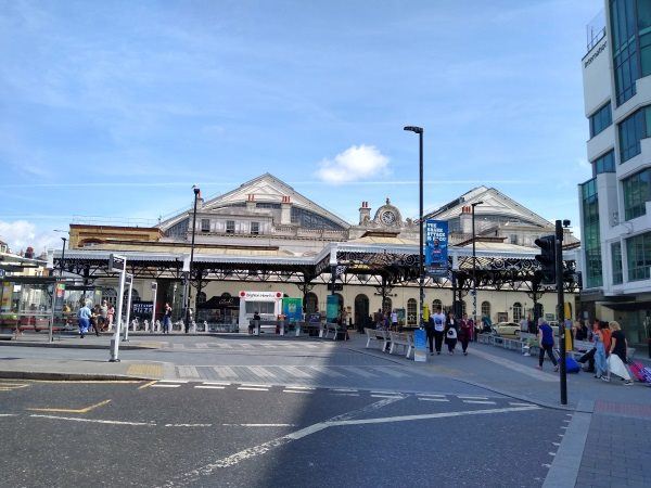
Brighton station
| Postcode | BN1 3XP |
|---|
Transport
| Nearby stations | |
|---|---|
| Bus stops |
Brighton Station (E)
Brighton Station (E)
Brighton Station (E)
Brighton Station (S)
Brighton Station (S)
Brighton Station (N)
|
| Station code (TLC) | BTN |
| Station code (NLC) | 5268 |
| Owner | Govia Thameslink Railway (Southern) |
| National Rail Enquiries | |
Live Departures
Live Arrivals
Usage
Entries and exits
Interchanges
| Year | Entries and exits | Annual change % | Interchanges | Annual change % |
|---|---|---|---|---|
| 2025 | 15,328,450 | 5.4 % | 1,297,590 | 32.3 % |
| 2024 | 14,547,650 | 3.5 % | 980,746 | 9.8 % |
| 2023 | 14,052,890 | 25.2 % | 893,229 | -3.6 % |
| 2022 | 11,228,212 | 170.6 % | 926,441 | 152.2 % |
| 2021 | 4,149,082 | -76.1 % | 367,354 | -77.9 % |
| 2020 | 17,355,572 | -0.2 % | 1,660,247 | 2.4 % |
| 2019 | 17,384,634 | 2.7 % | 1,621,658 | 1.6 % |
| 2018 | 16,928,828 | 5.9 % | 1,596,386 | 6.5 % |
| 2017 | 15,993,072 | -7.7 % | 1,498,335 | -19.7 % |
| 2016 | 17,333,326 | 0.9 % | 1,866,958 | 1.0 % |
| 2015 | 17,170,740 | 1.4 % | 1,848,530 | -9.0 % |
| 2014 | 16,940,764 | 4.7 % | 2,032,097 | 4.7 % |
| 2013 | 16,187,024 | 0.8 % | 1,940,556 | 4.4 % |
| 2012 | 16,051,198 | 10.8 % | 1,858,787 | 9.9 % |
| 2011 | 14,493,010 | 5.5 % | 1,691,352 | 5.4 % |
| 2010 | 13,741,582 | -0.5 % | 1,605,187 | 8.9 % |
| 2009 | 13,806,628 | 2.5 % | 1,474,482 | -5.9 % |
| 2008 | 13,474,555 | 4.8 % | 1,566,174 | 9.3 % |
| 2007 | 12,853,442 | 8.4 % | 1,432,816 | 18.4 % |
| 2006 | 11,854,512 | 5.0 % | 1,210,099 | 13.7 % |
| 2005 | 11,295,080 | 1,064,696 |
Note: Data is for financial years, so 2020 is April 2019 to March 2020
Geography
| Latitude | 50.829003 | |
|---|---|---|
| Longitude | -0.14128 | |
| Easting | 531000 | |
| Northing | 104920 | |
| Grid reference | TQ309049 | |
| UTM reference | 30U 701314 5634704 | |
| what3words | ||
| Plus code | ||
| Distance away |
Postcodes
This map shows the postcodes where this station is the nearest to the postcode (as the crow flies)