Map of Didcot Parkway station
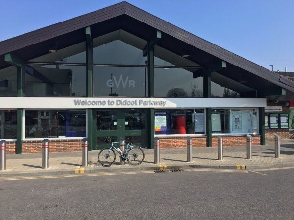
Photo: Martin W
Didcot Parkway station
| Postcode | OX11 7NR |
|---|
Transport
| Nearby stations | |
|---|---|
| Bus stops |
Parkway Station (SE)
Parkway Station (SE)
Parkway Station (SE)
Melton Drive (S)
Sainsburys (S)
Orchard Centre (N)
|
| Station code (TLC) | DID |
| Station code (NLC) | 3030 |
| Owner | Great Western Railway |
| National Rail Enquiries | |
Live Departures
Live Arrivals
Usage
Entries and exits
Interchanges
| Year | Entries and exits | Annual change % | Interchanges | Annual change % |
|---|---|---|---|---|
| 2025 | 2,884,000 | 13.3 % | 669,914 | 23.0 % |
| 2024 | 2,545,766 | 9.3 % | 544,785 | -0.1 % |
| 2023 | 2,329,704 | 15.1 % | 545,574 | 51.0 % |
| 2022 | 2,023,958 | 246.8 % | 361,267 | 258.8 % |
| 2021 | 583,570 | -82.5 % | 100,696 | -83.1 % |
| 2020 | 3,339,804 | 2.5 % | 596,121 | -5.8 % |
| 2019 | 3,258,388 | 2.3 % | 632,617 | -4.2 % |
| 2018 | 3,185,928 | -10.4 % | 660,295 | 28.8 % |
| 2017 | 3,554,204 | 2.8 % | 512,651 | 3.7 % |
| 2016 | 3,456,680 | 12.1 % | 494,466 | 0.6 % |
| 2015 | 3,083,258 | 4.7 % | 491,568 | -0.2 % |
| 2014 | 2,945,108 | 3.1 % | 492,437 | -1.4 % |
| 2013 | 2,857,480 | 2.5 % | 499,305 | 0.3 % |
| 2012 | 2,787,478 | 4.2 % | 497,978 | 209.2 % |
| 2011 | 2,674,310 | 5.9 % | 161,059 | -0.6 % |
| 2010 | 2,524,260 | 2.8 % | 162,078 | -10.6 % |
| 2009 | 2,456,384 | 1.6 % | 181,367 | 71.8 % |
| 2008 | 2,416,635 | 5.5 % | 105,584 | -68.0 % |
| 2007 | 2,290,949 | 5.3 % | 330,459 | 6.9 % |
| 2006 | 2,175,689 | -0.3 % | 309,160 | -8.7 % |
| 2005 | 2,181,924 | 338,476 |
Note: Data is for financial years, so 2020 is April 2019 to March 2020
Geography
| Latitude | 51.610955 | |
|---|---|---|
| Longitude | -1.242894 | |
| Easting | 452523 | |
| Northing | 190507 | |
| Grid reference | SU525905 | |
| UTM reference | 30U 621664 5719231 | |
| what3words | ||
| Plus code | ||
| Distance away |
Postcodes
This map shows the postcodes where this station is the nearest to the postcode (as the crow flies)