Map of Euston station, London
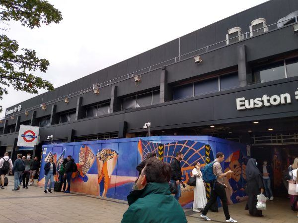
Euston station
| Postcode | NW1 2DU |
|---|
Transport
| Travel zone | 1 |
|---|---|
| Tube/Rail lines | |
| Next stations | |
| Nearby stations | |
| Bus stops |
Euston Station Eversholt St (N)
Euston Station (E)
Euston Bus Station (E)
Euston Station (E)
Euston Station (S)
Euston Bus Station (S)
|
| Station code (TLC) | EUS |
| Station code (NLC) | 1444 |
| Owner | Network Rail |
| National Rail Enquiries | |
Live Departures
Live Arrivals
Usage
Entries and exits
Interchanges
| Year | Entries and exits | Annual change % | Interchanges | Annual change % |
|---|---|---|---|---|
| 2025 | 40,248,974 | 11.2 % | 2,432,912 | -9.2 % |
| 2024 | 36,185,290 | 15.5 % | 2,679,679 | 26.2 % |
| 2023 | 31,318,408 | 35.6 % | 2,124,018 | -31.9 % |
| 2022 | 23,097,606 | 249.6 % | 3,121,082 | 270.2 % |
| 2021 | 6,606,698 | 10.7 % | 842,997 | -80.7 % |
| 2020 | 44,776,804 | -3.0 % | 4,356,855 | 15.4 % |
| 2019 | 46,146,456 | 3.1 % | 3,775,724 | -7.3 % |
| 2018 | 44,745,816 | 1.6 % | 4,073,344 | 15.8 % |
| 2017 | 44,059,402 | 5.7 % | 3,517,887 | -8.7 % |
| 2016 | 41,677,870 | -3.0 % | 3,853,607 | 9.0 % |
| 2015 | 42,952,298 | 2.5 % | 3,534,660 | 1.7 % |
| 2014 | 41,911,706 | 9.4 % | 3,474,091 | 3.3 % |
| 2013 | 38,299,206 | 4.6 % | 3,364,633 | -12.2 % |
| 2012 | 36,608,546 | 7.4 % | 3,831,564 | 111.9 % |
| 2011 | 34,073,413 | 13.3 % | 1,808,443 | 28.3 % |
| 2010 | 30,068,092 | 9.3 % | 1,409,826 | 9.9 % |
| 2009 | 27,499,986 | -4.3 % | 1,282,665 | -9.2 % |
| 2008 | 28,738,857 | 12.3 % | 1,412,837 | -27.8 % |
| 2007 | 25,585,113 | -5.8 % | 1,956,634 | 10.6 % |
| 2006 | 27,166,829 | 3.5 % | 1,769,401 | 21.1 % |
| 2005 | 26,256,193 | 1,461,424 |
Note: Data is for financial years, so 2020 is April 2019 to March 2020
Geography
| Latitude | 51.528135 | |
|---|---|---|
| Longitude | -0.133924 | |
| Easting | 529587 | |
| Northing | 182735 | |
| Grid reference | TQ295827 | |
| UTM reference | 30U 698801 5712452 | |
| what3words | ||
| Plus code | ||
| Distance away |
Postcodes
This map shows the postcodes where this station is the nearest to the postcode (as the crow flies)