Map of Gatwick Airport station
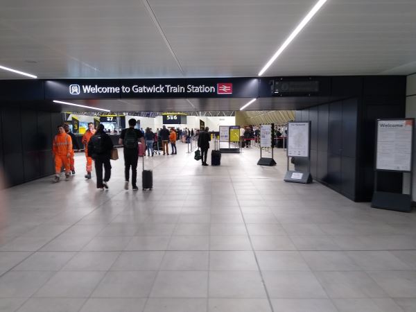
Gatwick Airport station
| Postcode | RH6 0RD |
|---|
Transport
| Nearby stations | |
|---|---|
| Bus stops |
South Terminal Coach Station (N)
South Terminal Bus Station (N)
Gatwick South Terminal (N)
Atlantic House (NW)
Atlantic House (SE)
|
| Station code (TLC) | GTW |
| Station code (NLC) | 5416 |
| Owner | Govia Thameslink Railway (Gatwick Express) |
| National Rail Enquiries | |
Live Departures
Live Arrivals
Usage
Entries and exits
Interchanges
| Year | Entries and exits | Annual change % | Interchanges | Annual change % |
|---|---|---|---|---|
| 2023 | 16,507,980 | 178.9 % | 852,806 | -6.2 % |
| 2022 | 5,919,044 | 251.0 % | 908,855 | 184.8 % |
| 2021 | 1,686,444 | -92.0 % | 319,081 | -79.1 % |
| 2020 | 21,050,640 | -0.8 % | 1,527,523 | -9.5 % |
| 2019 | 21,225,246 | 4.4 % | 1,687,742 | 39.2 % |
| 2018 | 20,328,212 | 5.0 % | 1,212,336 | 2.0 % |
| 2017 | 19,361,658 | 7.4 % | 1,188,101 | -7.3 % |
| 2016 | 18,028,846 | 3.1 % | 1,281,095 | 22.5 % |
| 2015 | 17,494,324 | 8.1 % | 1,045,982 | -10.3 % |
| 2014 | 16,185,672 | 5.4 % | 1,165,977 | 0.4 % |
| 2013 | 15,353,056 | 4.0 % | 1,160,927 | 4.1 % |
| 2012 | 14,757,940 | 12.4 % | 1,115,495 | -1.8 % |
| 2011 | 13,128,956 | 2.5 % | 1,135,544 | 2.7 % |
| 2010 | 12,814,802 | 9.6 % | 1,106,200 | 19.2 % |
| 2009 | 11,695,308 | -8.1 % | 927,900 | -0.5 % |
| 2008 | 12,729,628 | 7.1 % | 932,229 | -3.3 % |
| 2007 | 11,888,848 | 38.5 % | 963,561 | 6.5 % |
| 2006 | 8,585,167 | 7.6 % | 904,561 | 5.4 % |
| 2005 | 7,976,619 | 858,092 |
Note: Data is for financial years, so 2020 is April 2019 to March 2020
Geography
| Latitude | 51.156489 | |
|---|---|---|
| Longitude | -0.161042 | |
| Easting | 528700 | |
| Northing | 141300 | |
| Grid reference | TQ286413 | |
| UTM reference | 30U 698520 5671059 | |
| what3words | ||
| Plus code | ||
| Distance away |
Postcodes
This map shows the postcodes where this station is the nearest to the postcode (as the crow flies)