Map of Hampton station, London
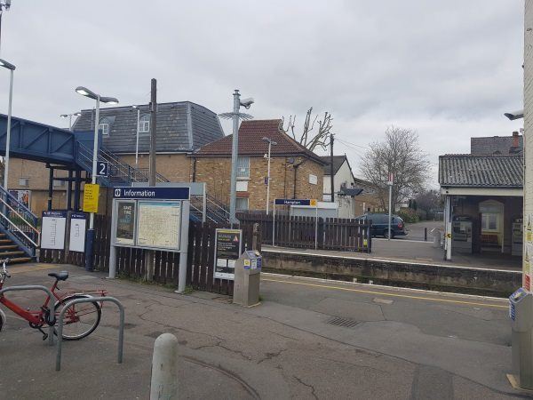
Hampton station
| Postcode | TW12 2HU |
|---|
Transport
| Travel zone | 6 |
|---|---|
| Tube/Rail lines | |
| Next stations | |
| Nearby stations | |
| Bus stops |
Hampton (E)
Oldfield Road Percy Road (S)
Percy Road (E)
Priory Road (TW12) (S)
Priory Road (TW12) (N)
Hampton & Richmond Borough F C (E)
|
| Station code (TLC) | HMP |
| Station code (NLC) | 5560 |
| Owner | South Western Railway |
| National Rail Enquiries | |
Live Departures
Live Arrivals
Usage
Entries and exits
Interchanges
| Year | Entries and exits | Annual change % | Interchanges | Annual change % |
|---|---|---|---|---|
| 2025 | 948,726 | 7.4 % | ||
| 2024 | 883,678 | 17.9 % | ||
| 2023 | 749,758 | 42.4 % | ||
| 2022 | 526,416 | 193.0 % | ||
| 2021 | 179,646 | -80.3 % | ||
| 2020 | 912,418 | -9.4 % | ||
| 2019 | 1,007,302 | -3.0 % | ||
| 2018 | 1,038,790 | -1.0 % | ||
| 2017 | 1,048,850 | -5.2 % | ||
| 2016 | 1,106,026 | -12.7 % | ||
| 2015 | 1,266,322 | 5.3 % | ||
| 2014 | 1,202,378 | 1.9 % | ||
| 2013 | 1,179,728 | 1.1 % | ||
| 2012 | 1,166,698 | 2.5 % | ||
| 2011 | 1,138,738 | 2.1 % | ||
| 2010 | 1,115,192 | -2.6 % | ||
| 2009 | 1,145,186 | -8.8 % | ||
| 2008 | 1,256,178 | 11.4 % | ||
| 2007 | 1,127,174 | 73.9 % | ||
| 2006 | 648,359 | -3.3 % | ||
| 2005 | 670,669 |
Note: Data is for financial years, so 2020 is April 2019 to March 2020
Geography
| Latitude | 51.415933 | |
|---|---|---|
| Longitude | -0.372119 | |
| Easting | 513299 | |
| Northing | 169797 | |
| Grid reference | TQ132697 | |
| UTM reference | 30U 682729 5699356 | |
| what3words | ||
| Plus code | ||
| Distance away |
Postcodes
This map shows the postcodes where this station is the nearest to the postcode (as the crow flies)