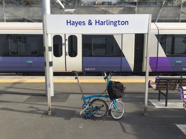
Map of Hayes and Harlington station, London

Photo: Martin W
Hayes and Harlington station
| Postcode | UB3 4BX |
|---|
Transport
| Travel zone | 5 |
|---|---|
| Tube/Rail lines | |
| Next stations | |
| Nearby stations | |
| Bus stops |
Hayes & Harlington (N)
Blyth Road Hayes (S)
Clayton Road (UB3) (N)
Clarendon Road (UB3) (N)
Fairey Corner (NE)
Old Station Road (E)
|
| Station code (TLC) | HAY |
| Station code (NLC) | 3186 |
| Owner | TfL Rail |
| National Rail Enquiries | |
Live Departures
Live Arrivals
Usage
Entries and exits
Interchanges
| Year | Entries and exits | Annual change % | Interchanges | Annual change % |
|---|---|---|---|---|
| 2024 | 7,765,146 | 42.6 % | 150,018 | 25.4 % |
| 2023 | 5,446,398 | 71.9 % | 119,677 | 126.9 % |
| 2022 | 3,168,740 | 133.8 % | 52,734 | 137.5 % |
| 2021 | 1,355,290 | -69.2 % | 22,200 | -66.0 % |
| 2020 | 4,405,414 | 4.8 % | 65,264 | 3.1 % |
| 2019 | 4,203,362 | 10.5 % | 63,309 | 7.9 % |
| 2018 | 3,805,244 | -1.0 % | 58,681 | 16.5 % |
| 2017 | 3,844,544 | -2.8 % | 50,377 | 1.8 % |
| 2016 | 3,954,626 | 26.5 % | 49,462 | -57.8 % |
| 2015 | 3,125,952 | 7.1 % | 117,105 | 3.8 % |
| 2014 | 2,920,078 | 10.2 % | 112,765 | 7.5 % |
| 2013 | 2,650,556 | 9.6 % | 104,946 | 1.4 % |
| 2012 | 2,417,624 | 7.6 % | 103,527 | 11.1 % |
| 2011 | 2,246,820 | 42.1 % | 93,149 | 6.6 % |
| 2010 | 1,581,238 | -14.1 % | 87,407 | -14.3 % |
| 2009 | 1,841,388 | -9.4 % | 102,022 | -37.4 % |
| 2008 | 2,033,496 | 4.4 % | 162,892 | 40.2 % |
| 2007 | 1,948,618 | 57.3 % | 116,187 | 134.7 % |
| 2006 | 1,238,789 | 0.7 % | 49,506 | -11.7 % |
| 2005 | 1,229,764 | 56,046 |
Note: Data is for financial years, so 2020 is April 2019 to March 2020
Geography
| Latitude | 51.503095 | |
|---|---|---|
| Longitude | -0.420684 | |
| Easting | 509717 | |
| Northing | 179417 | |
| Grid reference | TQ097794 | |
| UTM reference | 30U 679011 5708927 | |
| what3words | ||
| Plus code | ||
| Distance away |
Postcodes
This map shows the postcodes where this station is the nearest to the postcode (as the crow flies)