Map of Kenley station, London
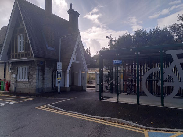
Kenley station
| Postcode | CR8 5JA |
|---|
Transport
| Travel zone | 6 |
|---|---|
| Tube/Rail lines | |
| Next stations | |
| Nearby stations | |
| Bus stops |
Kenley Station (S)
The Kenley Hotel Kenley Station (NW)
The Kenley Hotel Kenley Station (SE)
Oaks Way (E)
Kenley Treatment Works (NW)
Kenley Treatment Works (E)
|
| Station code (TLC) | KLY |
| Station code (NLC) | 5419 |
| Owner | Govia Thameslink Railway (Southern) |
| National Rail Enquiries | |
Live Departures
Live Arrivals
Usage
Entries and exits
Interchanges
| Year | Entries and exits | Annual change % | Interchanges | Annual change % |
|---|---|---|---|---|
| 2025 | 268,508 | 0.9 % | ||
| 2024 | 266,052 | 7.8 % | ||
| 2023 | 246,786 | 19.0 % | ||
| 2022 | 207,390 | 134.3 % | ||
| 2021 | 88,514 | -79.2 % | ||
| 2020 | 426,468 | -2.1 % | ||
| 2019 | 435,588 | 5.8 % | ||
| 2018 | 411,840 | -1.4 % | ||
| 2017 | 417,560 | -7.8 % | ||
| 2016 | 453,114 | -13.9 % | ||
| 2015 | 526,272 | 0.9 % | ||
| 2014 | 521,324 | 8.9 % | ||
| 2013 | 478,790 | -0.8 % | ||
| 2012 | 482,830 | 1.9 % | ||
| 2011 | 474,008 | 3.4 % | ||
| 2010 | 458,624 | -3.6 % | ||
| 2009 | 475,902 | -14.7 % | ||
| 2008 | 557,787 | 6.2 % | ||
| 2007 | 525,376 | 40.1 % | ||
| 2006 | 374,987 | 9.5 % | ||
| 2005 | 342,398 |
Note: Data is for financial years, so 2020 is April 2019 to March 2020
Geography
| Latitude | 51.324775 | |
|---|---|---|
| Longitude | -0.100925 | |
| Easting | 532400 | |
| Northing | 160100 | |
| Grid reference | TQ324601 | |
| UTM reference | 30U 701984 5689933 | |
| what3words | ||
| Plus code | ||
| Distance away |
Postcodes
This map shows the postcodes where this station is the nearest to the postcode (as the crow flies)