Map of Lancaster station
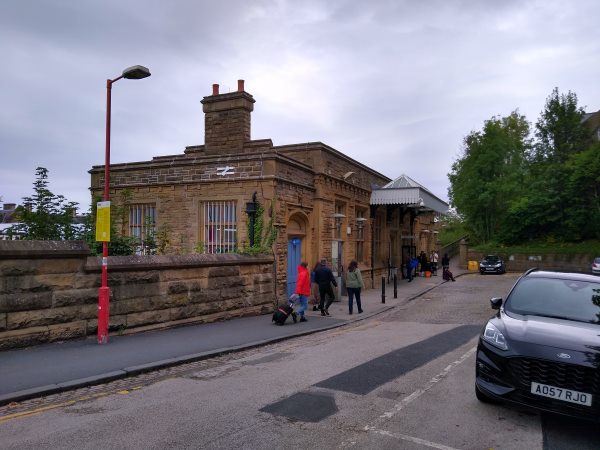
Lancaster station
| Postcode | LA1 5NW |
|---|
Transport
| Nearby stations | |
|---|---|
| Bus stops |
Railway Station (S)
Rail Station Taxi Rank ()
Railway Station (W)
Railway Station (N)
Sibsey Street (W)
Fairfield Road (N)
|
| Station code (TLC) | LAN |
| Station code (NLC) | 2685 |
| Owner | Avanti West Coast |
| National Rail Enquiries | |
Live Departures
Live Arrivals
Usage
Entries and exits
Interchanges
| Year | Entries and exits | Annual change % | Interchanges | Annual change % |
|---|---|---|---|---|
| 2025 | 2,184,042 | 11.2 % | 450,228 | -1.1 % |
| 2024 | 1,963,884 | 7.3 % | 455,099 | 19.2 % |
| 2023 | 1,830,070 | 10.3 % | 381,715 | 46.1 % |
| 2022 | 1,659,362 | 218.2 % | 261,186 | 383.7 % |
| 2021 | 521,432 | -76.2 % | 54,003 | -86.0 % |
| 2020 | 2,193,066 | 3.3 % | 384,411 | -15.8 % |
| 2019 | 2,122,814 | -0.9 % | 456,789 | 9.2 % |
| 2018 | 2,142,868 | -0.2 % | 418,494 | 5.7 % |
| 2017 | 2,146,796 | 5.6 % | 395,921 | 8.8 % |
| 2016 | 2,033,538 | 1.5 % | 364,053 | 6.1 % |
| 2015 | 2,004,122 | 4.6 % | 343,227 | 5.1 % |
| 2014 | 1,915,446 | 3.5 % | 326,599 | 1.7 % |
| 2013 | 1,850,772 | 0.9 % | 321,262 | 6.9 % |
| 2012 | 1,833,558 | 2.6 % | 300,663 | 3.6 % |
| 2011 | 1,787,698 | 7.9 % | 290,141 | 6.9 % |
| 2010 | 1,656,070 | 6.2 % | 271,456 | 9.5 % |
| 2009 | 1,559,994 | 4.1 % | 247,952 | 6.7 % |
| 2008 | 1,498,353 | 7.3 % | 232,407 | -53.2 % |
| 2007 | 1,395,832 | 6.0 % | 496,663 | 58.2 % |
| 2006 | 1,317,299 | 3.7 % | 314,020 | 51.7 % |
| 2005 | 1,270,227 | 206,994 |
Note: Data is for financial years, so 2020 is April 2019 to March 2020
Geography
| Latitude | 54.048733 | |
|---|---|---|
| Longitude | -2.807458 | |
| Easting | 347230 | |
| Northing | 461720 | |
| Grid reference | SD472617 | |
| UTM reference | 30U 512606 5988960 | |
| what3words | ||
| Plus code | ||
| Distance away |
Postcodes
This map shows the postcodes where this station is the nearest to the postcode (as the crow flies)