Map of Mortlake station, London
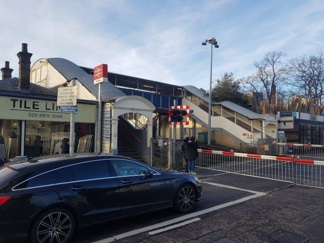
Mortlake station
| Postcode | SW14 8LN |
|---|
Transport
| Travel zone | 3 |
|---|---|
| Tube/Rail lines | |
| Next stations | |
| Nearby stations | |
| Bus stops |
Mortlake Station (N)
Sheen Lane Mortlake Station (W)
Ship Lane Stag Brewery (W)
Mortlake Station (N)
Sheen Lane Mortlake Station (E)
Rosemary Lane (W)
|
| Station code (TLC) | MTL |
| Station code (NLC) | 5600 |
| Owner | South Western Railway |
| National Rail Enquiries | |
Live Departures
Live Arrivals
Usage
Entries and exits
Interchanges
| Year | Entries and exits | Annual change % | Interchanges | Annual change % |
|---|---|---|---|---|
| 2025 | 1,546,638 | 5.2 % | ||
| 2024 | 1,470,392 | 17.3 % | ||
| 2023 | 1,253,020 | 22.7 % | ||
| 2022 | 1,020,932 | 132.6 % | ||
| 2021 | 438,932 | -76.6 % | ||
| 2020 | 1,871,848 | 3.8 % | ||
| 2019 | 1,803,324 | 1.9 % | ||
| 2018 | 1,769,936 | -4.2 % | ||
| 2017 | 1,848,094 | -4.3 % | ||
| 2016 | 1,931,866 | -13.9 % | ||
| 2015 | 2,244,922 | 4.1 % | ||
| 2014 | 2,156,826 | 1.2 % | ||
| 2013 | 2,130,920 | 4.9 % | ||
| 2012 | 2,031,090 | 2.2 % | ||
| 2011 | 1,987,894 | 6.6 % | ||
| 2010 | 1,864,054 | -0.8 % | ||
| 2009 | 1,878,950 | -8.3 % | ||
| 2008 | 2,049,844 | 9.0 % | ||
| 2007 | 1,879,800 | 72.8 % | ||
| 2006 | 1,087,936 | -1.6 % | ||
| 2005 | 1,105,741 |
Note: Data is for financial years, so 2020 is April 2019 to March 2020
Geography
| Latitude | 51.468086 | |
|---|---|---|
| Longitude | -0.267106 | |
| Easting | 520458 | |
| Northing | 175779 | |
| Grid reference | TQ204757 | |
| UTM reference | 30U 689814 5705422 | |
| what3words | ||
| Plus code | ||
| Distance away |
Postcodes
This map shows the postcodes where this station is the nearest to the postcode (as the crow flies)