Map of Parsons Green station, London
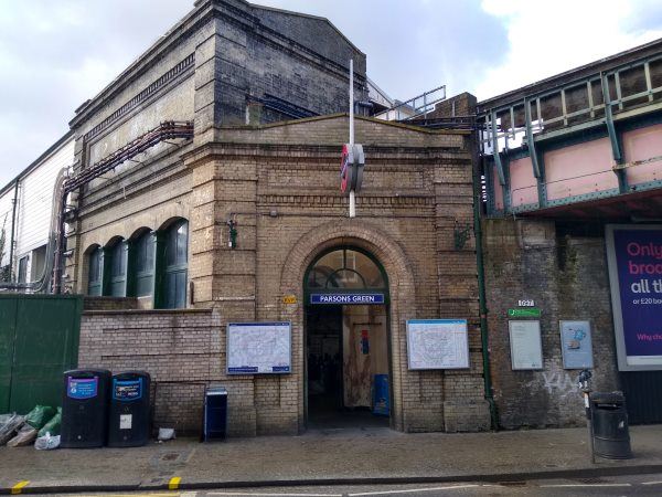
Parsons Green station
| Postcode | SW6 4HU |
|---|
Transport
| Travel zone | 2 |
|---|---|
| Tube/Rail lines | |
| Next stations | |
| Nearby stations | |
| Bus stops |
Parsons Green New Kings Road (E)
Parsons Green Lane Fulham Lib (NE)
Parsons Green New Kings Road (W)
Radipole Road (NE)
Radipole Road (SW)
Irene Road (W)
|
Geography
| Latitude | 51.47496 | |
|---|---|---|
| Longitude | -0.201124 | |
| Easting | 525029 | |
| Northing | 176645 | |
| Grid reference | TQ250766 | |
| UTM reference | 30U 694366 5706359 | |
| what3words | ||
| Plus code | ||
| Distance away |
Postcodes
This map shows the postcodes where this station is the nearest to the postcode (as the crow flies)