Map of Rogerstone station
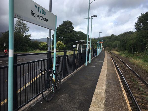
Photo: Martin W
Rogerstone station
| Postcode | NP10 9LG |
|---|
Transport
| Nearby stations | |
|---|---|
| Bus stops |
Gormon's (NW)
Rivermead Way (E)
Gormon's (SE)
Rivermead Centre (W)
Vicarage (SE)
Vicarage (NW)
|
| Station code (TLC) | ROR |
| Station code (NLC) | 9921 |
| Owner | TfW Rail |
| National Rail Enquiries | |
Live Departures
Live Arrivals
Usage
Entries and exits
Interchanges
| Year | Entries and exits | Annual change % | Interchanges | Annual change % |
|---|---|---|---|---|
| 2025 | 87,268 | 39.5 % | ||
| 2024 | 62,568 | -11.2 % | ||
| 2023 | 70,426 | 27.5 % | ||
| 2022 | 55,242 | 270.2 % | ||
| 2021 | 14,924 | -82.5 % | ||
| 2020 | 85,112 | 4.4 % | ||
| 2019 | 81,522 | -10.0 % | ||
| 2018 | 90,610 | 0.6 % | ||
| 2017 | 90,088 | 5.2 % | ||
| 2016 | 85,658 | -19.1 % | ||
| 2015 | 105,938 | -8.0 % | ||
| 2014 | 115,110 | 13.6 % | ||
| 2013 | 101,366 | 2.9 % | ||
| 2012 | 98,556 | -2.8 % | ||
| 2011 | 101,446 | 10.0 % | ||
| 2010 | 92,230 | 29.8 % | ||
| 2009 | 71,030 | 560.1 % | ||
| 2008 | 10,760 | |||
| 2007 | ||||
| 2006 | ||||
| 2005 |
Note: Data is for financial years, so 2020 is April 2019 to March 2020
Geography
| Latitude | 51.595619 | |
|---|---|---|
| Longitude | -3.066613 | |
| Easting | 326214 | |
| Northing | 189070 | |
| Grid reference | ST262890 | |
| UTM reference | 30U 495385 5716065 | |
| what3words | ||
| Plus code | ||
| Distance away |
Postcodes
This map shows the postcodes where this station is the nearest to the postcode (as the crow flies)