Map of Selhurst station, London
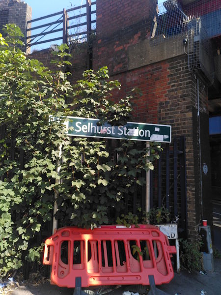
Selhurst station
| Postcode | SE25 6LL |
|---|
Transport
| Travel zone | 4 |
|---|---|
| Tube/Rail lines | |
| Next stations | |
| Nearby stations | |
| Bus stops |
Selhurst (S)
Selhurst New Road (S)
Selhurst New Road (NE)
Heavers Farm Centre (SW)
Clifton Road (N)
Pawsons Road (S)
|
| Station code (TLC) | SRS |
| Station code (NLC) | 5434 |
| Owner | Govia Thameslink Railway (Southern) |
| National Rail Enquiries | |
Live Departures
Live Arrivals
Usage
Entries and exits
Interchanges
| Year | Entries and exits | Annual change % | Interchanges | Annual change % |
|---|---|---|---|---|
| 2025 | 1,217,928 | 12.4 % | 809 | -92.9 % |
| 2024 | 1,083,280 | 9.7 % | 11,320 | 313.7 % |
| 2023 | 987,942 | 4.7 % | 2,736 | 32.4 % |
| 2022 | 943,226 | 107.1 % | 2,067 | 67.4 % |
| 2021 | 455,424 | -67.8 % | 1,235 | -50.2 % |
| 2020 | 1,415,390 | -7.7 % | 2,482 | -16.0 % |
| 2019 | 1,532,940 | -1.5 % | 2,956 | 294.1 % |
| 2018 | 1,555,578 | 1.4 % | 750 | -11.9 % |
| 2017 | 1,534,554 | -10.5 % | 851 | -55.3 % |
| 2016 | 1,713,922 | 5.4 % | 1,904 | -64.1 % |
| 2015 | 1,626,736 | 8.9 % | 5,303 | -9.1 % |
| 2014 | 1,493,156 | 6.5 % | 5,834 | -33.2 % |
| 2013 | 1,402,008 | 3.8 % | 8,738 | -1.2 % |
| 2012 | 1,350,574 | 8.7 % | 8,841 | 40.5 % |
| 2011 | 1,242,846 | 6.4 % | 6,292 | -44.9 % |
| 2010 | 1,168,506 | -0.9 % | 11,424 | 56.3 % |
| 2009 | 1,178,774 | -4.9 % | 7,311 | -8.9 % |
| 2008 | 1,239,987 | 10.4 % | 8,027 | 16.2 % |
| 2007 | 1,122,816 | 47.1 % | 6,906 | 21.6 % |
| 2006 | 763,111 | 3.1 % | 5,679 | 35.2 % |
| 2005 | 739,894 | 4,199 |
Note: Data is for financial years, so 2020 is April 2019 to March 2020
Geography
| Latitude | 51.391926 | |
|---|---|---|
| Longitude | -0.0883 | |
| Easting | 532993 | |
| Northing | 167636 | |
| Grid reference | TQ329676 | |
| UTM reference | 30U 702567 5697433 | |
| what3words | ||
| Plus code | ||
| Distance away |
Postcodes
This map shows the postcodes where this station is the nearest to the postcode (as the crow flies)