Map of St Margarets station, London
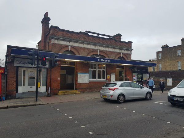
St Margarets station
| Postcode | TW1 2LH |
|---|
Transport
| Travel zone | 4 |
|---|---|
| Tube/Rail lines | |
| Next stations | |
| Nearby stations | |
| Bus stops |
St Margarets Station (S)
Chertsey Road (S)
Chertsey Road (N)
Sandycoombe Road (W)
Sandycoombe Road (E)
St Stephens C of E Primary School (W)
|
| Station code (TLC) | SMG |
| Station code (NLC) | 5604 |
| Owner | South Western Railway |
| National Rail Enquiries | |
Live Departures
Live Arrivals
Usage
Entries and exits
Interchanges
| Year | Entries and exits | Annual change % | Interchanges | Annual change % |
|---|---|---|---|---|
| 2024 | 946,426 | 15.5 % | ||
| 2023 | 819,582 | 26.0 % | ||
| 2022 | 650,478 | 131.6 % | ||
| 2021 | 280,862 | -78.7 % | ||
| 2020 | 1,320,486 | -6.5 % | ||
| 2019 | 1,412,636 | 3.2 % | ||
| 2018 | 1,368,440 | -5.9 % | ||
| 2017 | 1,454,656 | -3.7 % | ||
| 2016 | 1,510,228 | -13.5 % | ||
| 2015 | 1,745,024 | 0.4 % | ||
| 2014 | 1,738,274 | 1.1 % | ||
| 2013 | 1,719,142 | 3.8 % | ||
| 2012 | 1,655,972 | 3.4 % | ||
| 2011 | 1,602,072 | 6.5 % | ||
| 2010 | 1,504,292 | -2.7 % | ||
| 2009 | 1,546,360 | -4.8 % | ||
| 2008 | 1,623,598 | 6.3 % | ||
| 2007 | 1,528,005 | 100.4 % | ||
| 2006 | 762,648 | -2.4 % | ||
| 2005 | 781,189 |
Note: Data is for financial years, so 2020 is April 2019 to March 2020
Geography
| Latitude | 51.455235 | |
|---|---|---|
| Longitude | -0.320201 | |
| Easting | 516732 | |
| Northing | 174250 | |
| Grid reference | TQ167742 | |
| UTM reference | 30U 686179 5703857 | |
| what3words | ||
| Plus code | ||
| Distance away |
Postcodes
This map shows the postcodes where this station is the nearest to the postcode (as the crow flies)