Map of Tooting Bec station, London
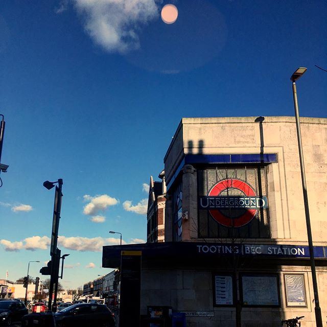
Photo: Lola Bell
Tooting Bec station
| Postcode | SW17 9AH |
|---|
Transport
| Travel zone | 3 |
|---|---|
| Tube/Rail lines | |
| Next stations | |
| Nearby stations | |
| Bus stops |
Tooting Bec Station (S)
Tooting Bec Station (NE)
Tooting Bec Station (W)
St Anselm's Church (E)
Dafforne Road (SW)
Glenburnie Road (N)
|
Geography
| Latitude | 51.435838 | |
|---|---|---|
| Longitude | -0.1597 | |
| Easting | 528015 | |
| Northing | 172366 | |
| Grid reference | TQ280723 | |
| UTM reference | 30U 697411 5702120 | |
| what3words | ||
| Plus code | ||
| Distance away |
Postcodes
This map shows the postcodes where this station is the nearest to the postcode (as the crow flies)