Map of Windsor and Eton Central station
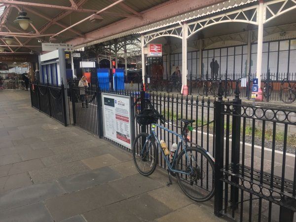
Photo: Martin W
Windsor and Eton Central station
| Postcode | SL4 1PJ |
|---|
Transport
| Nearby stations | |
|---|---|
| Bus stops |
Barclays Bank (NW)
Theatre Royal (SW)
Theatre Royal (SW)
Brocas Street (NW)
Charles Street (S)
Arthur Road (E)
|
| Station code (TLC) | WNC |
| Station code (NLC) | 3175 |
| Owner | Great Western Railway |
| National Rail Enquiries | |
Live Departures
Live Arrivals
Usage
Entries and exits
Interchanges
| Year | Entries and exits | Annual change % | Interchanges | Annual change % |
|---|---|---|---|---|
| 2025 | 1,708,274 | -2.8 % | 26,094 | -14.8 % |
| 2024 | 1,757,298 | 11.2 % | 30,621 | -4.1 % |
| 2023 | 1,580,166 | 60.9 % | 31,942 | 43.8 % |
| 2022 | 982,098 | 149.8 % | 22,209 | 92.5 % |
| 2021 | 393,132 | -79.7 % | 11,536 | -70.9 % |
| 2020 | 1,936,038 | -4.4 % | 39,657 | 2.2 % |
| 2019 | 2,024,294 | 7.2 % | 38,800 | 9.2 % |
| 2018 | 1,888,098 | -1.7 % | 35,520 | -15.2 % |
| 2017 | 1,920,566 | 2.6 % | 41,888 | -3.0 % |
| 2016 | 1,872,790 | -0.7 % | 43,195 | -13.7 % |
| 2015 | 1,885,272 | 0.3 % | 50,024 | 3.2 % |
| 2014 | 1,878,961 | 1.6 % | 48,460 | -10.0 % |
| 2013 | 1,848,816 | 1.0 % | 53,844 | 10.3 % |
| 2012 | 1,830,718 | 6.2 % | 48,801 | 92.2 % |
| 2011 | 1,723,272 | 7.2 % | 25,389 | 29.9 % |
| 2010 | 1,607,992 | 3.2 % | 19,545 | -10.6 % |
| 2009 | 1,557,536 | 3.3 % | 21,864 | -4.4 % |
| 2008 | 1,508,501 | 6.0 % | 22,878 | -16.2 % |
| 2007 | 1,423,329 | 8.7 % | 27,287 | -0.6 % |
| 2006 | 1,309,356 | -3.2 % | 27,446 | -3.5 % |
| 2005 | 1,352,234 | 28,448 |
Note: Data is for financial years, so 2020 is April 2019 to March 2020
Geography
| Latitude | 51.483267 | |
|---|---|---|
| Longitude | -0.61038 | |
| Easting | 496590 | |
| Northing | 176950 | |
| Grid reference | SU965769 | |
| UTM reference | 30U 665920 5706276 | |
| what3words | ||
| Plus code | ||
| Distance away |
Postcodes
This map shows the postcodes where this station is the nearest to the postcode (as the crow flies)