Map of Chessington South station, London
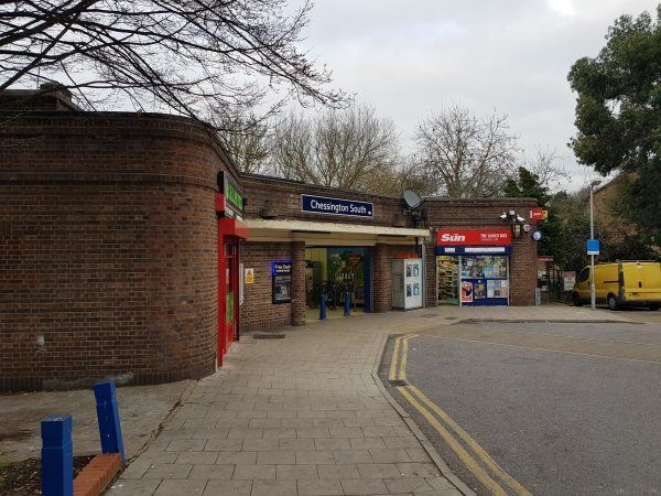
Chessington South station
| Postcode | KT9 2DD |
|---|
Transport
| Travel zone | 6 |
|---|---|
| Tube/Rail lines | |
| Next stations | |
| Nearby stations | |
| Bus stops |
Chessington South (W)
Chessington School (E)
Chessington School (W)
Selby Close (W)
Garrison Lane (S)
Garrison Lane (N)
|
| Station code (TLC) | CSS |
| Station code (NLC) | 5554 |
| Owner | South Western Railway |
| National Rail Enquiries | |
Live Departures
Live Arrivals
Usage
Entries and exits
Interchanges
| Year | Entries and exits | Annual change % | Interchanges | Annual change % |
|---|---|---|---|---|
| 2024 | 314,944 | 14.4 % | ||
| 2023 | 275,306 | 16.7 % | ||
| 2022 | 235,888 | 174.5 % | ||
| 2021 | 85,936 | -75.6 % | ||
| 2020 | 352,830 | -6.2 % | ||
| 2019 | 375,964 | 11.0 % | ||
| 2018 | 338,824 | -16.5 % | ||
| 2017 | 405,786 | -6.0 % | ||
| 2016 | 431,898 | -21.7 % | ||
| 2015 | 551,302 | 5.2 % | ||
| 2014 | 524,144 | 6.3 % | ||
| 2013 | 493,008 | -4.9 % | ||
| 2012 | 518,638 | 3.2 % | ||
| 2011 | 502,582 | -0.6 % | ||
| 2010 | 505,480 | -3.9 % | ||
| 2009 | 525,860 | -9.7 % | ||
| 2008 | 582,078 | 20.0 % | ||
| 2007 | 485,008 | 135.1 % | ||
| 2006 | 206,316 | 3.4 % | ||
| 2005 | 199,542 |
Note: Data is for financial years, so 2020 is April 2019 to March 2020
Geography
| Latitude | 51.356549 | |
|---|---|---|
| Longitude | -0.308158 | |
| Easting | 517974 | |
| Northing | 163319 | |
| Grid reference | TQ179633 | |
| UTM reference | 30U 687419 5692915 | |
| what3words | ||
| Plus code | ||
| Distance away |
Postcodes
This map shows the postcodes where this station is the nearest to the postcode (as the crow flies)