Map of Chessington North station, London
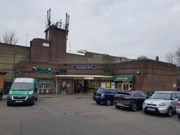
Chessington North station
| Postcode | KT9 2RT |
|---|
Transport
| Travel zone | 6 |
|---|---|
| Tube/Rail lines | |
| Next stations | |
| Nearby stations | |
| Bus stops |
Chessington North Station (W)
Parbury Rise (W)
Elm Road (SW)
Church Rise (W)
Elm Road (NE)
Church Rise (E)
|
| Station code (TLC) | CSN |
| Station code (NLC) | 5582 |
| Owner | South Western Railway |
| National Rail Enquiries | |
Live Departures
Live Arrivals
Usage
Entries and exits
Interchanges
| Year | Entries and exits | Annual change % | Interchanges | Annual change % |
|---|---|---|---|---|
| 2024 | 459,344 | 21.9 % | ||
| 2023 | 376,680 | 18.7 % | ||
| 2022 | 317,282 | 148.0 % | ||
| 2021 | 127,954 | -75.1 % | ||
| 2020 | 513,088 | -9.7 % | ||
| 2019 | 568,166 | 13.7 % | ||
| 2018 | 499,552 | -9.6 % | ||
| 2017 | 552,584 | -1.6 % | ||
| 2016 | 561,330 | -8.2 % | ||
| 2015 | 611,368 | 3.1 % | ||
| 2014 | 592,762 | 2.1 % | ||
| 2013 | 580,448 | 2.5 % | ||
| 2012 | 566,466 | 6.4 % | ||
| 2011 | 532,518 | 8.1 % | ||
| 2010 | 492,516 | -3.4 % | ||
| 2009 | 509,958 | -16.5 % | ||
| 2008 | 610,728 | 6.1 % | ||
| 2007 | 575,477 | 101.2 % | ||
| 2006 | 285,980 | -7.7 % | ||
| 2005 | 309,951 |
Note: Data is for financial years, so 2020 is April 2019 to March 2020
Geography
| Latitude | 51.36404 | |
|---|---|---|
| Longitude | -0.300699 | |
| Easting | 518415 | |
| Northing | 164168 | |
| Grid reference | TQ184641 | |
| UTM reference | 30U 687907 5693767 | |
| what3words | ||
| Plus code | ||
| Distance away |
Postcodes
This map shows the postcodes where this station is the nearest to the postcode (as the crow flies)