Map of Drayton Green station, London
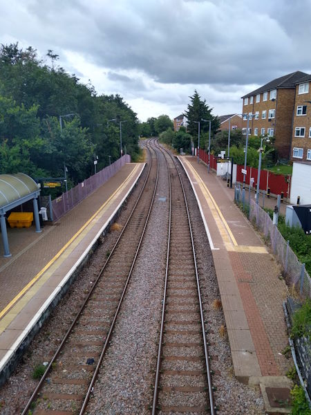
Drayton Green station
| Postcode | W13 0JX |
|---|
Transport
| Travel zone | 4 |
|---|---|
| Tube/Rail lines | |
| Next stations | |
| Nearby stations | |
| Bus stops |
Drayton Bridge Road (N)
Browning Avenue (W7) (S)
Browning Avenue (W7) (E)
Framfield Road (N)
Framfield Road (S)
Stafford Court (N)
|
| Station code (TLC) | DRG |
| Station code (NLC) | 3099 |
| Owner | Great Western Railway |
| National Rail Enquiries | |
Live Departures
Live Arrivals
Usage
Entries and exits
Interchanges
| Year | Entries and exits | Annual change % | Interchanges | Annual change % |
|---|---|---|---|---|
| 2024 | 20,198 | 25.6 % | ||
| 2023 | 16,082 | 48.3 % | ||
| 2022 | 10,846 | 51.8 % | ||
| 2021 | 7,146 | -77.4 % | ||
| 2020 | 31,610 | 8.1 % | ||
| 2019 | 29,228 | -13.0 % | ||
| 2018 | 33,578 | -67.2 % | ||
| 2017 | 102,372 | -33.2 % | ||
| 2016 | 153,146 | 0.3 % | ||
| 2015 | 152,710 | 11.0 % | ||
| 2014 | 137,600 | 11.8 % | ||
| 2013 | 123,038 | 15.1 % | ||
| 2012 | 106,874 | 2.0 % | ||
| 2011 | 104,732 | 55.0 % | ||
| 2010 | 67,552 | 1.0 % | ||
| 2009 | 66,908 | -16.6 % | ||
| 2008 | 80,235 | 6.4 % | ||
| 2007 | 75,414 | 1335.4 % | ||
| 2006 | 5,254 | -20.4 % | ||
| 2005 | 6,597 |
Note: Data is for financial years, so 2020 is April 2019 to March 2020
Geography
| Latitude | 51.516615 | |
|---|---|---|
| Longitude | -0.330194 | |
| Easting | 516002 | |
| Northing | 180998 | |
| Grid reference | TQ160809 | |
| UTM reference | 30U 685236 5710656 | |
| what3words | ||
| Plus code | ||
| Distance away |
Postcodes
This map shows the postcodes where this station is the nearest to the postcode (as the crow flies)