Map of Hampton Wick station, London
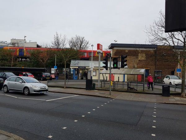
Hampton Wick station
| Postcode | KT1 4DQ |
|---|
Transport
| Travel zone | 6 |
|---|---|
| Tube/Rail lines | |
| Next stations | |
| Nearby stations | |
| Bus stops |
Hampton Wick (N)
Park Road Hampton Wick (S)
Lower Teddington Road (NW)
Park Road Hampton Wick (N)
Woffington Close (N)
Church Grove The King's Field (E)
|
| Station code (TLC) | HMW |
| Station code (NLC) | 5589 |
| Owner | South Western Railway |
| National Rail Enquiries | |
Live Departures
Live Arrivals
Usage
Entries and exits
Interchanges
| Year | Entries and exits | Annual change % | Interchanges | Annual change % |
|---|---|---|---|---|
| 2024 | 767,696 | 18.0 % | ||
| 2023 | 650,556 | 27.7 % | ||
| 2022 | 509,490 | 156.3 % | ||
| 2021 | 198,766 | -78.2 % | ||
| 2020 | 913,346 | -8.1 % | ||
| 2019 | 994,016 | 6.0 % | ||
| 2018 | 937,674 | -4.8 % | ||
| 2017 | 984,504 | -4.6 % | ||
| 2016 | 1,032,122 | 7.6 % | ||
| 2015 | 959,272 | 3.5 % | ||
| 2014 | 926,966 | 2.5 % | ||
| 2013 | 903,950 | 7.1 % | ||
| 2012 | 843,676 | 0.4 % | ||
| 2011 | 840,346 | 5.7 % | ||
| 2010 | 795,144 | -0.2 % | ||
| 2009 | 796,822 | -9.9 % | ||
| 2008 | 884,215 | 14.1 % | ||
| 2007 | 775,144 | 74.0 % | ||
| 2006 | 445,580 | 0.7 % | ||
| 2005 | 442,406 |
Note: Data is for financial years, so 2020 is April 2019 to March 2020
Geography
| Latitude | 51.414523 | |
|---|---|---|
| Longitude | -0.31249 | |
| Easting | 517407 | |
| Northing | 169752 | |
| Grid reference | TQ174697 | |
| UTM reference | 30U 686881 5699350 | |
| what3words | ||
| Plus code | ||
| Distance away |
Postcodes
This map shows the postcodes where this station is the nearest to the postcode (as the crow flies)