Map of Harlesden station, London
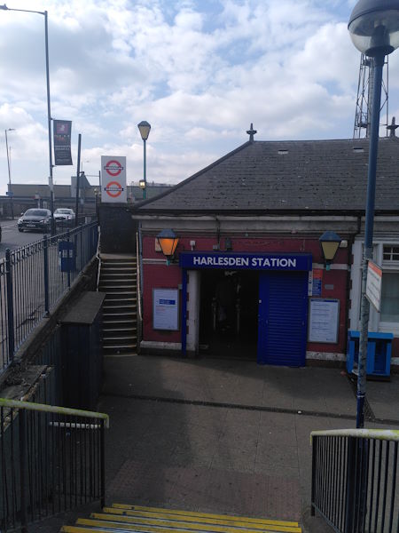
Harlesden station
| Postcode | NW10 8UT |
|---|
Transport
| Travel zone | 3 |
|---|---|
| Tube/Rail lines | |
| Next stations | |
| Nearby stations | |
| Bus stops |
Harlesden Station (S)
Winchelsea Road Harlesden (N)
Winchelsea Road Harlesden (S)
Waxlow Road (SW)
Waxlow Road (E)
Fairlight Avenue (E)
|
| Station code (TLC) | HDN |
| Station code (NLC) | 1521 |
| Owner | London Underground |
| National Rail Enquiries | |
Live Departures
Live Arrivals
Usage
Entries and exits
Interchanges
| Year | Entries and exits | Annual change % | Interchanges | Annual change % |
|---|---|---|---|---|
| 2025 | 1,553,164 | 10.2 % | ||
| 2024 | 1,408,854 | 7.6 % | ||
| 2023 | 1,309,798 | 3.1 % | ||
| 2022 | 1,270,930 | 73.1 % | ||
| 2021 | 734,252 | -49.2 % | ||
| 2020 | 1,446,700 | 39.4 % | ||
| 2019 | 1,037,716 | 0.4 % | ||
| 2018 | 1,033,994 | -2.1 % | ||
| 2017 | 1,056,082 | 3.1 % | ||
| 2016 | 1,024,696 | -5.2 % | ||
| 2015 | 1,080,364 | 5.9 % | ||
| 2014 | 1,020,620 | 13.9 % | ||
| 2013 | 896,282 | 11.6 % | ||
| 2012 | 803,402 | 30.4 % | ||
| 2011 | 616,128 | 64.9 % | ||
| 2010 | 373,728 | 29.1 % | ||
| 2009 | 289,584 | -6.2 % | ||
| 2008 | 308,810 | -3.3 % | ||
| 2007 | 319,347 | -13.3 % | ||
| 2006 | 368,147 | 8.1 % | ||
| 2005 | 340,409 |
Note: Data is for financial years, so 2020 is April 2019 to March 2020
Geography
| Latitude | 51.536288 | |
|---|---|---|
| Longitude | -0.257668 | |
| Easting | 520952 | |
| Northing | 183367 | |
| Grid reference | TQ209833 | |
| UTM reference | 30U 690185 5713029 | |
| what3words | ||
| Plus code | ||
| Distance away |
Postcodes
This map shows the postcodes where this station is the nearest to the postcode (as the crow flies)