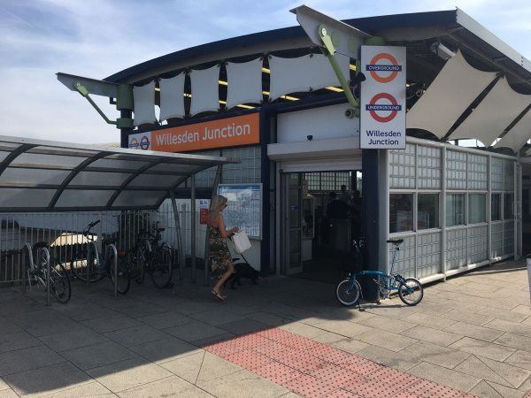
Map of Willesden Junction station, London

Photo: Martin W
Willesden Junction station
| Postcode | NW10 4RA |
|---|
Transport
| Travel zone | 3 |
|---|---|
| Tube/Rail lines | |
| Next stations | |
| Nearby stations | |
| Bus stops |
Willesden Junction Station (W)
Willesden Junction Station (S)
Willesden Junction Station (N)
Nightingale Road (S)
Park Parade (N)
Buckingham Road Harlesden (NE)
|
| Station code (TLC) | WIJ |
| Station code (NLC) | 1457 |
| Owner | London Overground |
| National Rail Enquiries | |
Live Departures
Live Arrivals
Usage
Entries and exits
Interchanges
| Year | Entries and exits | Annual change % | Interchanges | Annual change % |
|---|---|---|---|---|
| 2024 | 6,877,584 | 8.0 % | 2,501,171 | 26.8 % |
| 2023 | 6,367,758 | 18.9 % | 1,972,936 | 24.6 % |
| 2022 | 5,357,538 | 91.6 % | 1,582,839 | 85.2 % |
| 2021 | 2,795,956 | -53.6 % | 854,531 | -62.3 % |
| 2020 | 6,019,360 | 1.3 % | 2,267,727 | 8.3 % |
| 2019 | 5,943,590 | -2.1 % | 2,093,042 | -10.6 % |
| 2018 | 6,069,606 | -2.1 % | 2,339,989 | -6.9 % |
| 2017 | 6,196,804 | -0.7 % | 2,513,017 | -3.3 % |
| 2016 | 6,243,172 | 30.0 % | 2,599,845 | -4.1 % |
| 2015 | 4,802,446 | 21.1 % | 2,711,926 | 3.4 % |
| 2014 | 3,964,254 | 8.6 % | 2,624,014 | 13.2 % |
| 2013 | 3,651,506 | 4.2 % | 2,318,814 | 14.6 % |
| 2012 | 3,504,304 | 47.4 % | 2,022,895 | 61.0 % |
| 2011 | 2,377,316 | 33.5 % | 1,256,095 | 107.8 % |
| 2010 | 1,780,980 | 48.1 % | 604,522 | 50.7 % |
| 2009 | 1,202,578 | -17.4 % | 401,179 | -10.0 % |
| 2008 | 1,456,639 | -1.1 % | 445,689 | 84.5 % |
| 2007 | 1,472,634 | -25.5 % | 241,551 | -71.3 % |
| 2006 | 1,976,305 | 6.4 % | 841,005 | -12.1 % |
| 2005 | 1,858,277 | 957,291 |
Note: Data is for financial years, so 2020 is April 2019 to March 2020
Geography
| Latitude | 51.532495 | |
|---|---|---|
| Longitude | -0.244548 | |
| Easting | 521905 | |
| Northing | 182942 | |
| Grid reference | TQ219829 | |
| UTM reference | 30U 691110 5712642 | |
| what3words | ||
| Plus code | ||
| Distance away |
Postcodes
This map shows the postcodes where this station is the nearest to the postcode (as the crow flies)