Map of Kentish Town station, London
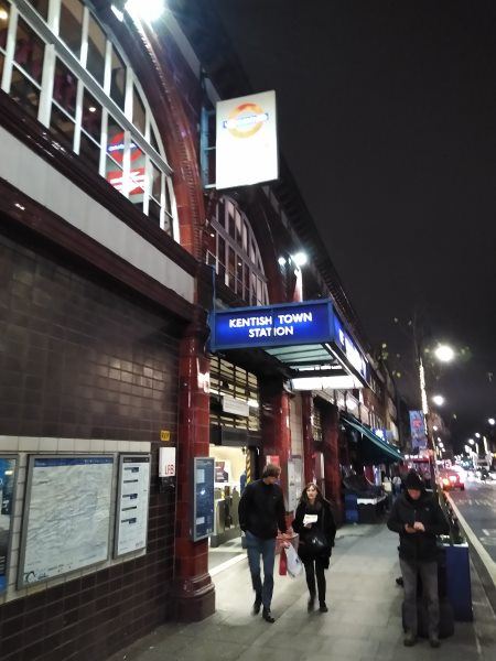
Kentish Town station
| Postcode | NW5 2AA |
|---|
Transport
| Travel zone | 2 |
|---|---|
| Tube/Rail lines | |
| Next stations | |
| Nearby stations | |
| Bus stops |
Kentish Town (N)
Kentish Town (E)
Kentish Town Post Office (N)
Fortess Road (S)
Fortess Walk (S)
Kentish Town Post Office (S)
|
| Station code (TLC) | KTN |
| Station code (NLC) | 1553 |
| Owner | London Underground |
| National Rail Enquiries | |
Live Departures
Live Arrivals
Usage
Entries and exits
Interchanges
| Year | Entries and exits | Annual change % | Interchanges | Annual change % |
|---|---|---|---|---|
| 2024 | 1,786,866 | -10.3 % | ||
| 2023 | 1,991,724 | 32.9 % | ||
| 2022 | 1,499,210 | 92.4 % | ||
| 2021 | 779,356 | -72.7 % | ||
| 2020 | 2,856,966 | 5.9 % | ||
| 2019 | 2,696,768 | -4.3 % | ||
| 2018 | 2,819,412 | 3.2 % | ||
| 2017 | 2,732,094 | -3.9 % | ||
| 2016 | 2,844,270 | 27.1 % | ||
| 2015 | 2,238,594 | 19.8 % | ||
| 2014 | 1,869,356 | 10.3 % | ||
| 2013 | 1,694,868 | 12.6 % | ||
| 2012 | 1,505,470 | 9.3 % | ||
| 2011 | 1,377,102 | 21.1 % | ||
| 2010 | 1,136,980 | 28.5 % | ||
| 2009 | 884,654 | -17.1 % | ||
| 2008 | 1,066,682 | -23.1 % | ||
| 2007 | 1,387,798 | 212.8 % | ||
| 2006 | 443,644 | 16.0 % | ||
| 2005 | 382,561 |
Note: Data is for financial years, so 2020 is April 2019 to March 2020
Geography
| Latitude | 51.550493 | |
|---|---|---|
| Longitude | -0.140365 | |
| Easting | 529029 | |
| Northing | 185096 | |
| Grid reference | TQ290850 | |
| UTM reference | 30U 698257 5714920 | |
| what3words | ||
| Plus code | ||
| Distance away |
Postcodes
This map shows the postcodes where this station is the nearest to the postcode (as the crow flies)