Map of South Kenton station, London
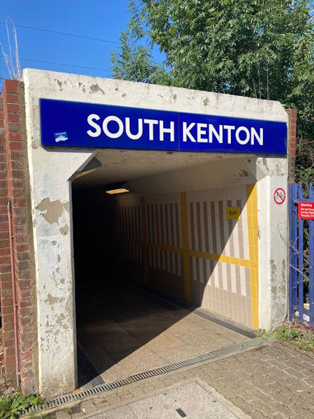
Photo: Dave W
South Kenton station
| Postcode | HA9 8QT |
|---|
Transport
| Travel zone | 4 |
|---|---|
| Tube/Rail lines | |
| Next stations | |
| Nearby stations | |
| Bus stops |
South Kenton Station (S)
Grasmere Avenue Kenton (S)
Grasmere Avenue Kenton (N)
Grasmere Avenue Kenton (N)
Third Avenue Carlton Avenue East (W)
|
| Station code (TLC) | SOK |
| Station code (NLC) | 1453 |
| Owner | London Underground |
| National Rail Enquiries | |
Live Departures
Live Arrivals
Usage
Entries and exits
Interchanges
| Year | Entries and exits | Annual change % | Interchanges | Annual change % |
|---|---|---|---|---|
| 2025 | 643,152 | 15.9 % | ||
| 2024 | 555,104 | 10.5 % | ||
| 2023 | 502,386 | 19.8 % | ||
| 2022 | 419,306 | 95.5 % | ||
| 2021 | 214,474 | -61.4 % | ||
| 2020 | 555,162 | 1.8 % | ||
| 2019 | 545,400 | -4.4 % | ||
| 2018 | 570,268 | -3.8 % | ||
| 2017 | 592,604 | 0.2 % | ||
| 2016 | 591,656 | 65.8 % | ||
| 2015 | 356,848 | 13.7 % | ||
| 2014 | 313,854 | 6.3 % | ||
| 2013 | 295,276 | 8.9 % | ||
| 2012 | 271,158 | 6.3 % | ||
| 2011 | 255,140 | 100.2 % | ||
| 2010 | 127,420 | 184.0 % | ||
| 2009 | 44,862 | -21.4 % | ||
| 2008 | 57,108 | -24.4 % | ||
| 2007 | 75,555 | -59.2 % | ||
| 2006 | 185,022 | 11.5 % | ||
| 2005 | 165,873 |
Note: Data is for financial years, so 2020 is April 2019 to March 2020
Geography
| Latitude | 51.570213 | |
|---|---|---|
| Longitude | -0.308462 | |
| Easting | 517350 | |
| Northing | 187153 | |
| Grid reference | TQ173871 | |
| UTM reference | 30U 686524 5716670 | |
| what3words | ||
| Plus code | ||
| Distance away |
Postcodes
This map shows the postcodes where this station is the nearest to the postcode (as the crow flies)