Map of Streatham Hill station, London
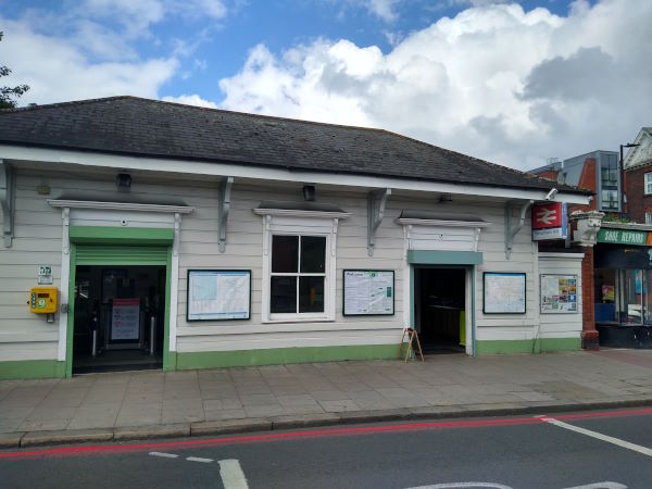
Streatham Hill station
| Postcode | SW2 4PA |
|---|
Transport
| Travel zone | 3 |
|---|---|
| Tube/Rail lines | |
| Next stations | |
| Nearby stations | |
| Bus stops |
Leigham Ct Rd Streatham Hill (NW)
Streatham Hill (E)
Leigham Ct Rd Streatham Hill (SE)
Streatham Hill Station Streatham Hill (N)
Streatham Hill Station Streatham Hill (S)
Streatham Hill (N)
|
| Station code (TLC) | SRH |
| Station code (NLC) | 5435 |
| Owner | Govia Thameslink Railway (Southern) |
| National Rail Enquiries | |
Live Departures
Live Arrivals
Usage
Entries and exits
Interchanges
| Year | Entries and exits | Annual change % | Interchanges | Annual change % |
|---|---|---|---|---|
| 2024 | 1,689,938 | 42.8 % | ||
| 2023 | 1,183,302 | 23.2 % | ||
| 2022 | 960,390 | 88.2 % | ||
| 2021 | 510,278 | -75.6 % | ||
| 2020 | 2,089,954 | -4.0 % | ||
| 2019 | 2,176,976 | 1.1 % | ||
| 2018 | 2,152,714 | -3.2 % | ||
| 2017 | 2,223,836 | -15.6 % | ||
| 2016 | 2,634,390 | -6.4 % | ||
| 2015 | 2,813,182 | 3.2 % | ||
| 2014 | 2,725,320 | 2.4 % | ||
| 2013 | 2,661,068 | -0.9 % | ||
| 2012 | 2,684,526 | 15.6 % | ||
| 2011 | 2,322,980 | 16.3 % | ||
| 2010 | 1,996,690 | -6.6 % | ||
| 2009 | 2,137,376 | -9.3 % | ||
| 2008 | 2,355,874 | 17.5 % | ||
| 2007 | 2,004,200 | 57.2 % | ||
| 2006 | 1,274,689 | 0.1 % | ||
| 2005 | 1,274,033 |
Note: Data is for financial years, so 2020 is April 2019 to March 2020
Geography
| Latitude | 51.438191 | |
|---|---|---|
| Longitude | -0.12716 | |
| Easting | 530233 | |
| Northing | 172714 | |
| Grid reference | TQ302727 | |
| UTM reference | 30U 699662 5702470 | |
| what3words | ||
| Plus code | ||
| Distance away |
Postcodes
This map shows the postcodes where this station is the nearest to the postcode (as the crow flies)